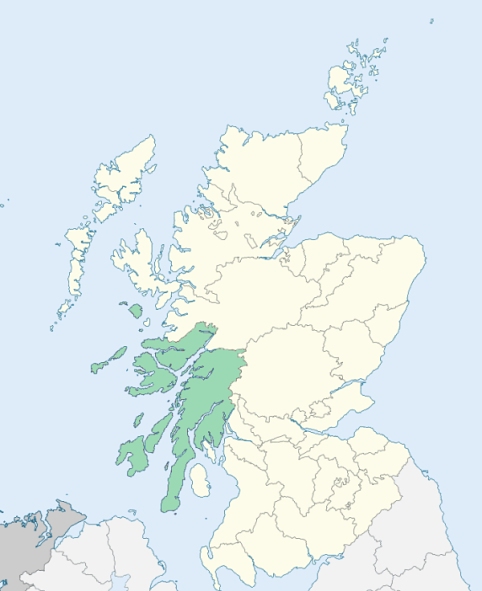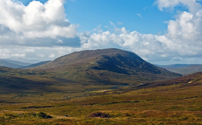
Morvern is a parish in the northwest of the mainland of Argyleshire. It forms a peninsula, extending south-westward between Lochs Suinart and Linnhe, to the Sound of Mull, and connected with the district of Ardgour by an isthmus of 6 miles. It comprises also the small inhabited islands of Oransay and Carna, in Loch Suinart.(1867: The Imperial Gazetteer of Scotland, by John Marius Wilson)
Bunavoulin, Loch Aline, Morvern
Drimnin
PRE-REFORMATION GOVERNANCE:
POST-REFORMATION GOVERNANCE:
The parish of Morvern comprises the united parishes of Kilcholmkill and Kilintach. The name Morvern is from Mor bhearna = "the great passes." These two parishes were united early in the seventeenth century. Each of them retains its own church.
Kilcholumkill. The church of this parish was dedicated to St Columba.
Kilintach. The parish church was dedicated to St Fintan of Ath Duirn in Ossory.
Includes ministers, licentiates, assistants, readers, and clerks.
(1928: Fasti Ecclesiæ Scoticanæ, by Hew Scott, D. D.)
Parish registers turned over to the Registrar-General, as a result of the Registration of Births, Deaths, and Marriages (Scotland) Act of 1854. The letters B. D. and M. indicate Births (or Baptisms), Deaths (or Burials), and Marriages (or Proclamations of Banns) respectively. Numbers indicate separate volumes or books. Note: These records are by no means complete or without damage; consult the Detailed List of the Old Parochial Registers of Scotland (1872) to learn more about the condition of the records.
| OPR and RD Numbers | |||
|---|---|---|---|
| Date Range | Name | Number | Type |
| 1803-1854 | Morvern | 528 | OPR |
| 1855-1971 | Morvern | 528 | RD |
| 1972-2006 | Morvern | 523 | RD |
| 2009 | Highland, Morvern | 523 | RD |
| 2026 | Highland Council; Morvern Community Council | ||
(2009: Parishes and Registration Districts of Scotland - Old and New, National Records of Scotland)
Local community councils (2026) are provided as a potential source of additional information for settlements within the original boundaries of the parish. (Source)
Statistics from informal and official censuses
Black, Cameron, Campbell, Currie, Dempster, Livingstone, Palmer, Paterson, Robertson, Scott
Note: Names appearing in research materials, other than censuses. Simple names (First name, surname only) have been omitted unless they appear associated with large properties. All women's names, and men's names with occupations, military ranks, or peerage titles are included.
By the Reverend Mr Norman M'Leod.
"The number of souls in 1793 was 1764, of whom 914 were males, and 850 females; 501 were under 10 years of age. There were 24 male weavers, 10 female weavers, 15 tailors, 2 blacksmiths, 1 shoemaker, 4 brogue-makers, 3 joiners, 2 wheelwrights, 8 cowans, 2 boat carpenters, 1 gardener, 2 coopers, 3 millers, and 12 retailers of spirits.
There has been no emigration to America taken place from this parish as yet, but a yearly drain to the low country for service, &c. owing to the union of farms, and the general poverty of the country, where there are no manufactures to employ, and little produce to support the inhabitants. The farms, as presently possessed, are 32 in number, of which 17 are in the hands of gentlemen tacksmen, and for the most part stocked with sheep.
The whole parishioners are of the established church, excepting a few non-jurant Episcopalians. The people are in general industrious, had they a subject to work upon, or a proper stimulus. They are not addicted to any particular vice; but this must be understood with some exceptions, as must always be expected among so large a body of people. In the year 1786, no fewer than 30 were expelled the parish for theft, not by the sentence of a magistrate, but by the united efforts of the better sort of the inhabitants."
(This section contains excerpts, at times restructured or paraphrased, from an article appearing in Statistical Account of Scotland, Sir John Sinclair, 1791-1799)
Primary Sources:
Statistical Account of Scotland (1791-1799), Volume 10, p. 262
New Statistical Account of Scotland (1834-1845), Volume 7, Section II, p. 163
See Parish Page Sources for all source information and links.