Inverboyndie
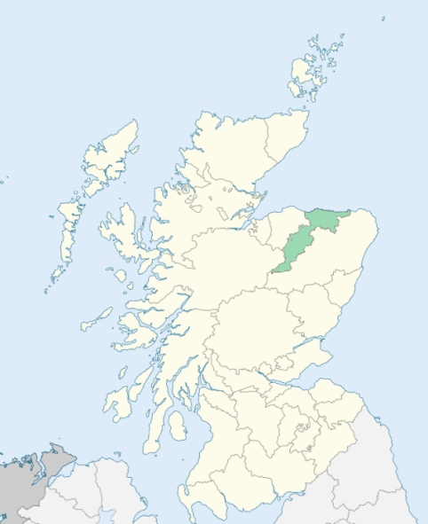
Boyndie is a parish on the coast of Banffshire. It is bounded on the north by the Moray Firth, and on the other sides by the parishes of Banff, Marnoch, Ordiquhill, and Fordyce. (1867: The Imperial Gazetteer of Scotland, by John Marius Wilson).
Baldavie, Blackpots, Blairmaud, Boyndie, Boyne, Culphins, Dallachy, Lintmill, Paddockburn, Raggal, Rothin, Warylip, Whintie or Whyntie, Whitehills
PRE-REFORMATION GOVERNANCE:
POST-REFORMATION GOVERNANCE:
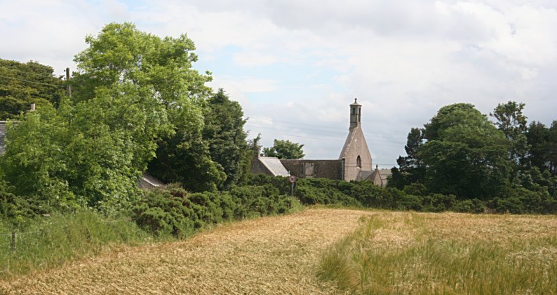
The church of Inverboyndie was dedicated to St Brandan. It belonged to the Abbey of Arbroath. The old church, whose ruins stand in the churchyard, was in use until 1773. The parishes of Banff and Inverboyndie were united about 1600. They were severed again in 1634. There is a mission chapel within the bounds at Whitehill.
Disjoined Quoad Sacra Parishes:
Ord. A chapel was built here in 1836. The parish of Ord was disjoined from Banff, Alvah, Boyndie, and Marnoch, 5 July 1869.
Includes ministers, licentiates, assistants, readers, and clerks.
Boyndie (QO)
Ord (QS)
(1928: Fasti Ecclesiæ Scoticanæ, by Hew Scott, D. D.)
Parish registers turned over to the Registrar-General, as a result of the Registration of Births, Deaths, and Marriages (Scotland) Act of 1854. The letters B. D. and M. indicate Births (or Baptisms), Deaths (or Burials), and Marriages (or Proclamations of Banns) respectively. Numbers indicate separate volumes or books. Note: These records are by no means complete or without damage; consult the Detailed List of the Old Parochial Registers of Scotland (1872) to learn more about the condition of the records.
| OPR and RD Numbers | |||
|---|---|---|---|
| Date Range | Name | Number | Type |
| 1700-1854 | Boyndie | 149 | OPR |
| 1855-1892 | Boyndie | 149 | RD |
| 1893-1956 | Boyndie | 149a | RD |
| 1893-1958 | Cabrach | 149b | RD |
| 2009 | Moray, Buckie | 290 | RD |
| 2026 | (Boyndie) Aberdeenshire Council; Whitehills and District Community Council | ||
| 2026 | (Cabrach) Moray Council; Dufftown & District Community Council | ||
(2009: Parishes and Registration Districts of Scotland - Old and New, National Records of Scotland)
Local community councils (2026) are provided as a potential source of additional information for settlements within the original boundaries of the parish. (Source)
Statistics from informal and official censuses
Findlay, Lovie, Murray, Pirie, Ritchie, Robertson, Smith, Stevenson, Watson, Wilson
Note: Names appearing in research materials, other than censuses. Simple names (First name, surname only) have been omitted unless they appear associated with large properties. All women's names, and men's names with occupations, military ranks, or peerage titles are included.
By the Reverend Mr Alexander Milne, Minister.
"The number of inhabitants is 1260; of which there are 800 nearly in the country parish, and 460 in the sea-town of Whitehills. The town of Whitehills is chiefly inhabited by fishers.
The people are sober, industrious, and charitable. From the long leases, and reasonable rents of the farms in this parish, the people have not that spur to exertion which racked rents produce for a season. But they have every inducement to steady and regular industry, which improves both their bodies and their minds; and they are strangers to that despondency, lassitude, and disgust, which, after a few years unavailing exertion, take possession of the dispirited, hard-toiling, and discontented farmer, who is oppressed by a rack-rent and short lease, and at last becomes careless of every thing, when he sees that with all his industry, he is unable to pay his landlord and maintain his family."
(This section contains excerpts, at times restructured or paraphrased, from an article appearing in Statistical Account of Scotland, Sir John Sinclair, 1791-1799)
Primary Sources:
Statistical Account of Scotland (1791-1799), Volume 19, p. 305
New Statistical Account of Scotland (1834-1845), Volume 13, Section I, p. 220
See Parish Page Sources for all source information and links.