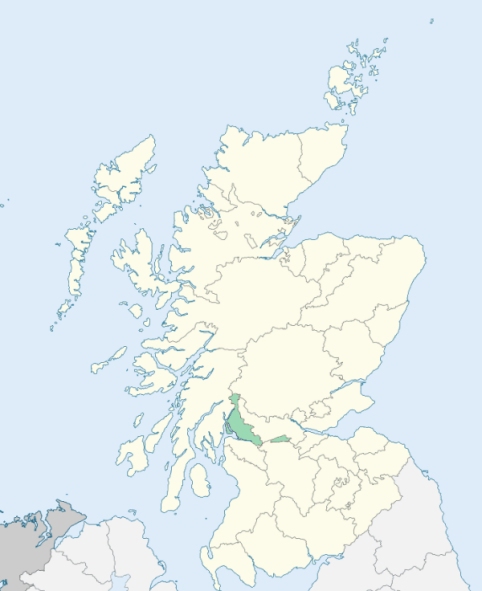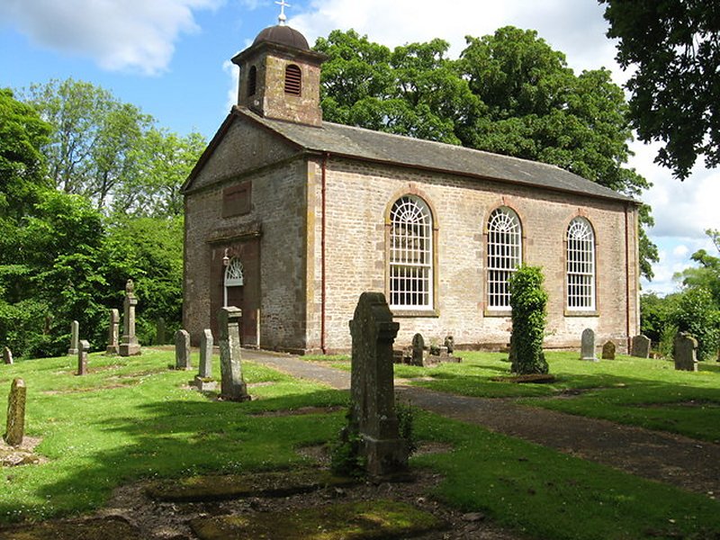
Kimaronock is a parish near the centre of Dunbartonshire. It flanks nearly all the foot of south end of Loch Lomond, and is elsewhere bounded by Stirlingshire, and by the parishes of Dunbarton and Bonhill. (1867: The Imperial Gazetteer of Scotland, by John Marius Wilson).
Badshalloch, Croftamie, Gartocharn, Kilmaronock, Spittal, Tullycross
Ross Priory
PRE-REFORMATION GOVERNANCE:
POST-REFORMATION GOVERNANCE:
The church of Kilmaronock was dedicated to St Ronan. It belonged to the Abbey of Cambuskenneth. There were two chapels in the parish, St Mirin's, on the island of Innis Muren in Loch Lomond, and St Kessog's, at the Chapel Croft.
Includes ministers, licentiates, assistants, readers, and clerks.
(1928: Fasti Ecclesiæ Scoticanæ, by Hew Scott, D. D.)
Parish registers turned over to the Registrar-General, as a result of the Registration of Births, Deaths, and Marriages (Scotland) Act of 1854. The letters B. D. and M. indicate Births (or Baptisms), Deaths (or Burials), and Marriages (or Proclamations of Banns) respectively. Numbers indicate separate volumes or books. Note: These records are by no means complete or without damage; consult the Detailed List of the Old Parochial Registers of Scotland (1872) to learn more about the condition of the records.
| OPR and RD Numbers | |||
|---|---|---|---|
| Date Range | Name | Number | Type |
| 1686-1854 | Kilmaronock | 497 | OPR |
| 1855-1968 | Kilmaronock | 497 | RD |
| 1969-1971 | Helensburgh | 497 | RD |
| 1972-2006 | Helensburgh | 501 | RD |
| 2007 | Helensburgh, Argyll and Bute | 501 | RD |
| 2009 | Argyll and Bute, Helensburgh | 501 | RD |
| 2026 | (Kilmaronock) Argyll and Bute Council; Kilmaronock Community Council | ||
| 2026 | (Helensburgh) Argyll and Bute Council; Helensburgh Community Council | ||
(2009: Parishes and Registration Districts of Scotland - Old and New, National Records of Scotland)
Local community councils (2026) are provided as a potential source of additional information for settlements within the original boundaries of the parish. (Source)
Statistics from informal and official censuses
Blair, Buchanan, Cunningham, Galbraith, Gardner, Lang, Miller, Orr, Ritchie, Smith
Note: Names appearing in research materials, other than censuses. Simple names (First name, surname only) have been omitted unless they appear associated with large properties. All women's names, and men's names with occupations, military ranks, or peerage titles are included.
By the Reverend Mr Andrew White, Minister.
"From an enumeration in 1792, there were found to be 820 people. Of these there were 210 below 10 years of age, and 175 families. The population of this parish in on the decline, owing to the increase of trade and manufactures at Bonhill and Balfron, where many of the people have settled.
There are no towns nor villages in the parish, nor any manufactures carried on. The men are, in general, employed in husbandry; but, as the farms are small, they are not oppressed with hard labour. The women are engaged in spinning flax, or in work they receive from manufacturers. The people are grave and sober; but some of them are rather disposed to be litigious.
About the beginning of the present century, the parish was much exposed to the depredation of certain freebooters, who carried off the cattle, so that the farmers, for their protection, engaged to pay them, or others, a certain tax, named black meal, which was regularly exacted until 1745, when a better police was established."
(This section contains excerpts, at times restructured or paraphrased, from an article appearing in Statistical Account of Scotland, Sir John Sinclair, 1791-1799)
Primary Sources:
Statistical Account of Scotland (1791-1799), Volume 11, p. 202
New Statistical Account of Scotland (1834-1845), Volume 8, Section I, p. 211
See Parish Page Sources for all source information and links.