Buchnull
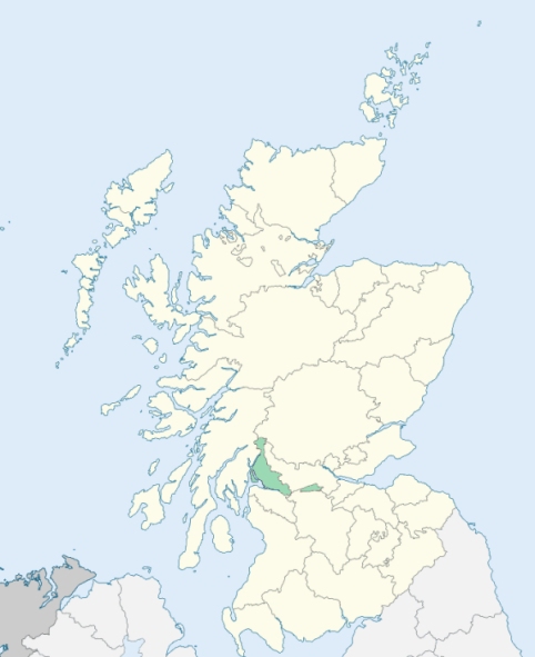
Bonhill is a parish in Dunbartonshire. It is bounded by Loch Lomond and by the parishes of Kilmaronock, Dunbarton, Cardross, and Luss. (1867: The Imperial Gazetteer of Scotland, by John Marius Wilson).
Alexandria, Bonhill, Dalvault, Jameston or Jamestown, Mill of Halden
Auchincarroch, Darleith, Lennoxbank
PRE-REFORMATION GOVERNANCE:
POST-REFORMATION GOVERNANCE:
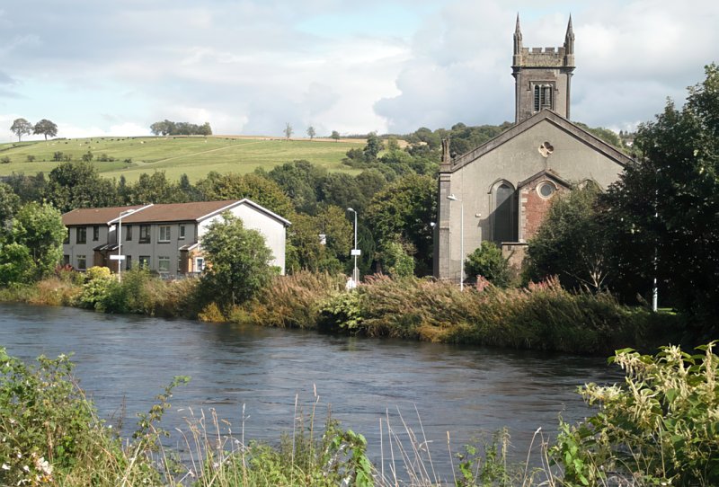
The church of Buchnull (Both an aillt = the hut by the stream) belonged to the Collegiate Church of St Mary at Dunbarton. In 1650 the Commissioners for the Plantation of Kirks enlarged the parochial area by annexing to it the lands of Tullichewan, Stuckragent, Cameron, and Auchendennan, taken from the parish of Luss, and the lands of Balloch, Milton, Blairquhois, Ballagan, and Ledrestbeg, taken from Kilmaronock. There was a chapel within the bounds at Auchenheglish (Achadh na h-eaglais = the field of the church.) Bonhill Church was rebuilt in 1836.
Disjoined Quoad Sacra Parishes:
Alexandria. The church was opened 3 September 1840. The parish of Alexandria was disjoined from Bonhill, 18 July 1866. There is at Alexandria a mission chapel of St Andrew.
Jamestown. A church was built here in 1869. The parish of Jamestown was disjoined from Bonhill on 17 March 1873.
Includes ministers, licentiates, assistants, readers, and clerks.
Bonhill (QO)
Alexandria (QO)
Jamestown (QO)
(1928: Fasti Ecclesiæ Scoticanæ, by Hew Scott, D. D.)
Parish registers turned over to the Registrar-General, as a result of the Registration of Births, Deaths, and Marriages (Scotland) Act of 1854. The letters B. D. and M. indicate Births (or Baptisms), Deaths (or Burials), and Marriages (or Proclamations of Banns) respectively. Numbers indicate separate volumes or books. Note: These records are by no means complete or without damage; consult the Detailed List of the Old Parochial Registers of Scotland (1872) to learn more about the condition of the records.
| OPR and RD Numbers | |||
|---|---|---|---|
| Date Range | Name | Number | Type |
| 1676-1854 | Bonhill | 493 | OPR |
| 1855-1953 | Bonhill | 493 | RD |
| 1954-1968 | Bonhill and Renton | 493 | RD |
| 2009 | West Dunbartonshire, Alexandria | 503 | RD |
| 2026 | West Dunbartonshire Council; Bonhill and Dalmonach Community Council | ||
(2009: Parishes and Registration Districts of Scotland - Old and New, National Records of Scotland)
Local community councils (2026) are provided as a potential source of additional information for settlements within the original boundaries of the parish. (Source)
Statistics from informal and official censuses
Brown, Buchanan, Cameron, Campbell, Ferguson, Graham, Smith, Stewart, Thomson, Wilson
Note: Names appearing in research materials, other than censuses. Simple names (First name, surname only) have been omitted unless they appear associated with large properties. All women's names, and men's names with occupations, military ranks, or peerage titles are included.
By the Reverend Mr Gordon Stewart, Minister of the Parish.
"From a list of the inhabitants, taken in January 1791, it appear that they amounted to 2310 in all. Of that number there were 562 under 10 years of age. Of the above number there are 993 employed by the three printfields, whereof 507 are women; besides 67 boys and girls under 10 years of age.
It is not easy to state the number employed at the bleachfields, as it varies so much at different seasons of the year. Besides these, there are 7 smiths, 15 shoemakers, 12 tailors, 21 wrights, and 6 millers of different kinds; 2 distillers, 4 excise officers, 8 shopkeepers, and 14 keepers of alehouses."
(This section contains excerpts, at times restructured or paraphrased, from an article appearing in Statistical Account of Scotland, Sir John Sinclair, 1791-1799)
Primary Sources:
Statistical Account of Scotland (1791-1799), Volume 3, p. 442
New Statistical Account of Scotland (1834-1845), Volume 8, Section I, p. 220
See Parish Page Sources for all source information and links.