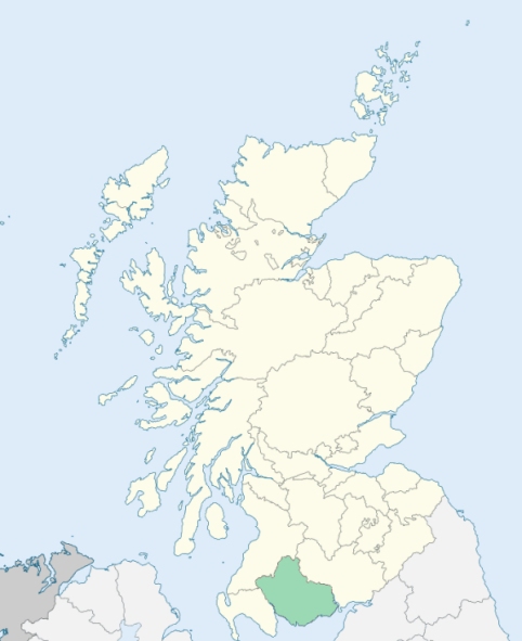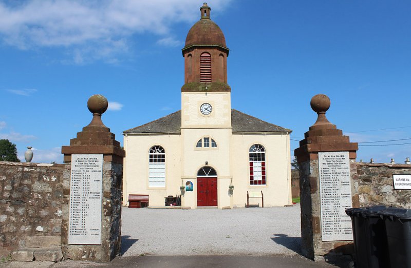
Kirkbean is a parish at the south-eastern extremity of Kirkcudbrightshire. It is bounded by the Solway Firth, and by the parishes of Colvend and New Abbey. (1867: The Imperial Gazetteer of Scotland, by John Marius Wilson).
Carsethorn, Gavingill, Kirkbean, Ladywell, Loaningfoot, Mainsriddle, Preston or Prestonmill, Salterness, Southerness
Arbigland, Cavens
PRE-REFORMATION GOVERNANCE:
POST-REFORMATION GOVERNANCE:
Before the Reformation, the church, dedicated to St Bean, belonged to Lincluden College.
Includes ministers, licentiates, assistants, readers, and clerks.
(1928: Fasti Ecclesiæ Scoticanæ, by Hew Scott, D. D.)
Parish registers turned over to the Registrar-General, as a result of the Registration of Births, Deaths, and Marriages (Scotland) Act of 1854. The letters B. D. and M. indicate Births (or Baptisms), Deaths (or Burials), and Marriages (or Proclamations of Banns) respectively. Numbers indicate separate volumes or books. Note: These records are by no means complete or without damage; consult the Detailed List of the Old Parochial Registers of Scotland (1872) to learn more about the condition of the records.
| OPR and RD Numbers | |||
|---|---|---|---|
| Date Range | Name | Number | Type |
| 1714-1854 | Kirkbean | 870 | OPR |
| 1855-1968 | Kirkbean | 870 | RD |
| 1969-1971 | Carsethorn | 870 | RD |
| 1972-1981 | Carsethorn | 862 | RD |
| 2009 | Dumfries and Galloway, Dumfries | 834 | RD |
| 2026 | Dumfries and Galloway Council; Kirkbean Community Council | ||
(2009: Parishes and Registration Districts of Scotland - Old and New, National Records of Scotland)
Local community councils (2026) are provided as a potential source of additional information for settlements within the original boundaries of the parish. (Source)
Statistics from informal and official censuses
Barbour, Black, Clark, Douglas Jardin, Johnstone, Murray, Robson, Shaw, Smith
Note: Names appearing in research materials, other than censuses. Simple names (First name, surname only) have been omitted unless they appear associated with large properties. All women's names, and men's names with occupations, military ranks, or peerage titles are included.
By the Reverend Mr Edward Neilson, Minister.
"The number of souls in 1793 was 660, of whom 314 were males, 346 were females; 170 were under 8 years of age. There are 650 Members of the Established Church, 3 Roman Catholics, 3 Antiburghers, 3 Episcopalians, and 1 Quaker. There are 14 houses inhabited by one person only.
Of mechanics, including apprentices and journeymen, there are 3 joiners, 3 masons, 1 slater, 6 tailors, 8 shoemakers, 3 blacksmiths, 7 stocking-weavers, 4 seamen, and 8 revenue men.
There are 3 villages in the parish, Kirkbean, Preston, and Salterness. The village of Kirkbean formerly consisted of farm houses chiefly, with a joiner's and a blacksmith's house. At present, there are 2 joiner's houses, 1 blacksmith's house, 2 grocery shops, 2 alehouses, with several others, inhabited by the labourers and cottagers belonging to the neighbouring farms. The village of Preston, some years ago, was inhabited by 24 farmers; at present there are only 3, with their cottagers. The village of Salterness stands close upon the shore, due south of the church. It is chiefly inhabited by persons who keep furnished rooms, to accommodate such as, during the season, come to it for the benefit of sea bathing.
A considerable number of the inhabitants of different ranks and conditions of life, are industrious, sober, active, and charitable. In their religious sentiments, they are rational and liberal, and, in their political opinions, they are manly and loyal."
(This section contains excerpts, at times restructured or paraphrased, from an article appearing in Statistical Account of Scotland, Sir John Sinclair, 1791-1799)
Primary Sources:
Statistical Account of Scotland (1791-1799), Volume 15, p. 119
New Statistical Account of Scotland (1834-1845), Volume 4, Section II, p. 234
See Parish Page Sources for all source information and links.