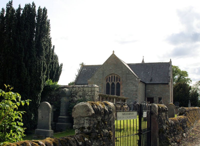
Eddyrdor, Killiernan
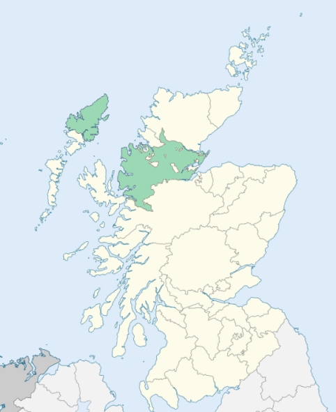
Killearnan is a parish on the south-east border of Ross-shire. It is bounded on the south by the Beauly Firth, and on other sides by the parishes of Urray, Urquhart, and Kilmuir Wester. (1867: The Imperial Gazetteer of Scotland, by John Marius Wilson).
Chapeltown, Kilcoy, Killearnan or Killiernan, Muir of Tarradale
Drumnamurg
The parish of Killearnan had a detached part situated at Tore. It contained 2,007 acres, and was separated from the main portion of the parish by an intervening strip of the parish of Knockbain. It may be explained that the parish marked on the maps as Kilmuir-Wester & Suddie is commonly known as the parish of Knockbain.
The following alterations were made on the boundaries of these two parishes:
(1.) The main portion and the detached part of Killearnan were united by annexing to that parish the intervening portion of Knockbain.
(2.) Gallowhill Wood (with croft), which formerly lay partly in Knockbain, was placed entirely in the parish of Killearnan.
(3.) That part of Killearnan which lay east of the centre of the road leading from Allanglach past Artafallie to North Kessock was transferred to Knockbain.
(4.) The whole farm of Bellfield was placed in Knockbain.
See affected properties and landholders. (1892: Boundary of counties and parishes in Scotland as settled by the Boundary Commissioners under the Local Government Act, 1889, by Hay Shennan)
PRE-REFORMATION GOVERNANCE:
POST-REFORMATION GOVERNANCE:
The church of this parish was dedicated to St Iurnan. Killearnan was a prebend of the Cathedral of Fortrose, held by the Archdeacon of Ross. There was a chapel dedicated to St Andrew within a mile of the parish church, at a place now known as Chapeltown, commonly called St Palmer's Chapel. Here was held yearly on the 7th July St Andrew's Fair. Close by was St Andrew's Well, famous for its curative properties.
Includes ministers, licentiates, assistants, readers, and clerks.
(1928: Fasti Ecclesiæ Scoticanæ, by Hew Scott, D. D.)
Parish registers turned over to the Registrar-General, as a result of the Registration of Births, Deaths, and Marriages (Scotland) Act of 1854. The letters B. D. and M. indicate Births (or Baptisms), Deaths (or Burials), and Marriages (or Proclamations of Banns) respectively. Numbers indicate separate volumes or books. Note: These records are by no means complete or without damage; consult the Detailed List of the Old Parochial Registers of Scotland (1872) to learn more about the condition of the records.
| OPR and RD Numbers | |||
|---|---|---|---|
| Date Range | Name | Number | Type |
| 1744-1854 | Killearnan | 68 | OPR |
| 1855-1967 | Killearnan | 68 | RD |
| 2009 | Highland, Black Isle | 200 | RD |
| 2026 | Highland Council; Killearnan Community Council | ||
(2009: Parishes and Registration Districts of Scotland - Old and New, National Records of Scotland)
Local community councils (2026) are provided as a potential source of additional information for settlements within the original boundaries of the parish. (Source)
Statistics from informal and official censuses
Campbell, Cameron, Fraser, MacDonald, MacKay, Mackenzie, MacLean, MacLennan, Matheson, Ross
Note: Names appearing in research materials, other than censuses. Simple names (First name, surname only) have been omitted unless they appear associated with large properties. All women's names, and men's names with occupations, military ranks, or peerage titles are included.
By the Reverend Mr David Dunoon, Minister.
"There are in the parish 61 farmers, 14 shoemakers, 21 weavers and apprentices, 14 tailors and apprentices, 7 smiths and apprentices, 9 house-carpenters, cart and wheel wrights, 5 millers and servants, and 8 masons. There are 7 licensed stills in this parish. It will be asked, Why so many distilleries? For these reasons: Distilling is almost the only method of converting our victual into cash for the payment of rents and servants; and whisky may, in fact, be called our staple commodity."
(This section contains excerpts, at times restructured or paraphrased, from an article appearing in Statistical Account of Scotland, Sir John Sinclair, 1791-1799)
Primary Sources:
Statistical Account of Scotland (1791-1799), Volume 17, p. 337
New Statistical Account of Scotland (1834-1845), Volume 14, Section II, p. 63
See Parish Page Sources for all source information and links.