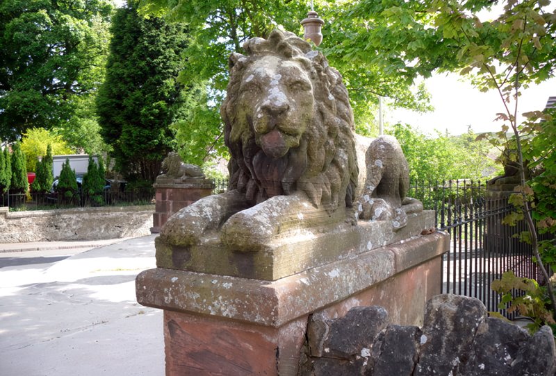
St Laurence
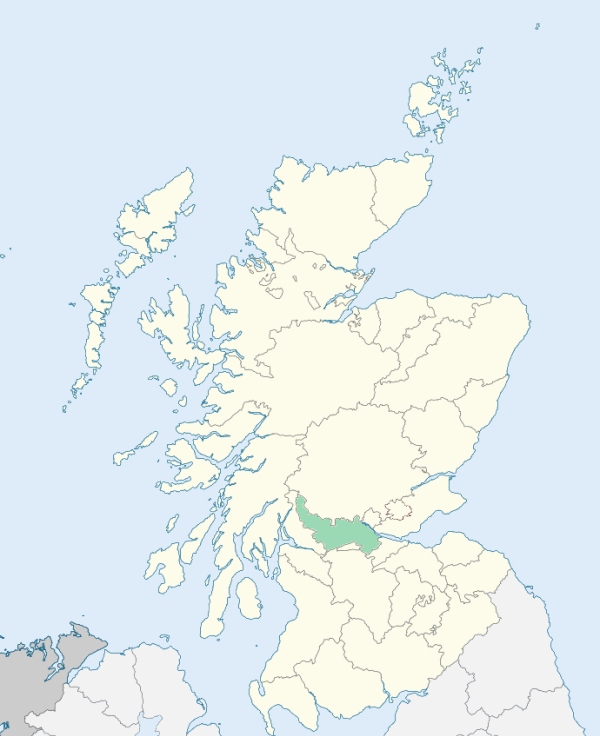
Slamannan is a parish at the south-eastern extremity of Stirlingshire. It is bounded by the counties of Linlithgow, Lanark, and Dumbarton, and by the parishes of Falkirk, Polmont, and Muiravonside. (1867: The Imperial Gazetteer of Scotland, by John Marius Wilson).
Arnloss Colliery, Avonbridge, Balcastle, Balquhatson, Binniehill, Burn Row, Kirkton, Limerigg, Lochside, Slamannan, Southfield
Balquhatson
PRE-REFORMATION GOVERNANCE:
POST-REFORMATION GOVERNANCE:
Originally part of Falkirk; disjoined from the Presbytery of Stirling, and annexed to Linlithgow Presbytery, 8 July 1589.
Includes ministers, licentiates, assistants, readers, and clerks.
(1928: Fasti Ecclesiæ Scoticanæ, by Hew Scott, D. D.)
Parish registers turned over to the Registrar-General, as a result of the Registration of Births, Deaths, and Marriages (Scotland) Act of 1854. The letters B. D. and M. indicate Births (or Baptisms), Deaths (or Burials), and Marriages (or Proclamations of Banns) respectively. Numbers indicate separate volumes or books. Note: These records are by no means complete or without damage; consult the Detailed List of the Old Parochial Registers of Scotland (1872) to learn more about the condition of the records.
| OPR and RD Numbers | |||
|---|---|---|---|
| Date Range | Name | Number | Type |
| 1681-1854 | Slamannan | 489 | OPR |
| 1855-1971 | Slamannan | 489 | RD |
| 1972-1997 | Slamannan | 486 | RD |
| 1998-2008 | Slamannan | 479 | RD |
| 2009 | Falkirk | 479 | RD |
| 2026 | Falkirk Counci; Slamannan and Limerigg Community Council | ||
(2009: Parishes and Registration Districts of Scotland - Old and New, National Records of Scotland)
Local community councils (2026) are provided as a potential source of additional information for settlements within the original boundaries of the parish. (Source)
Statistics from informal and official censuses
Baxter, Brown, Fowler, Gray, Hamilton, Hunter, Johnstone, Smith, Thomson, Waugh
Note: Names appearing in research materials, other than censuses. Simple names (First name, surname only) have been omitted unless they appear associated with large properties. All women's names, and men's names with occupations, military ranks, or peerage titles are included.
By the Reverend Mr James MacNair.
"The number of inhabitants in this parish at present is 1010, of whom there are 466 males, and 544 females; and of these there are 263 under 10 years of age. There are 223 families, including single persons who keep houses by themselves, 312 married persons, 6 bachelors, and 20 unmarried women above 40 years of age; there are also 17 widowers and 42 widows. There are about 15 heads of families connected with the Secession, making in all, with their families, about 78 persons, but many of their families attend upon the parish church.
The most of the inhabitants are farmers, except a few employed in the other necessary businesses of life; such as weavers, tailors, smiths, &c. But these are only employed in these branches by the inhabitants of the parish, and therefore there are only such a number of them as are sufficient for the parish. There are about 4 smiths, 10 masons and joiners, 12 weavers, 12 shoemakers, 3 tailors, 3 millers, and 1 lint-miller, 3 flax-dressers, 3 public houses, and a few coal-hewers. These last are employed by the Carron Company, and are sometimes more numerous than at other times. There were more than 20 of them about 2 years ago, and at present there are not more than 5. There is 1 clergyman and 1 schoolmaster; but no surgeon nor writer."
(This section contains excerpts, at times restructured or paraphrased, from an article appearing in Statistical Account of Scotland, Sir John Sinclair, 1791-1799)
Primary Sources:
Statistical Account of Scotland (1791-1799), Volume 14, p. 78
New Statistical Account of Scotland (1834-1845), Volume 8, Section II, p. 273
See Parish Page Sources for all source information and links.