Kirkmaiden-in-Rhinns
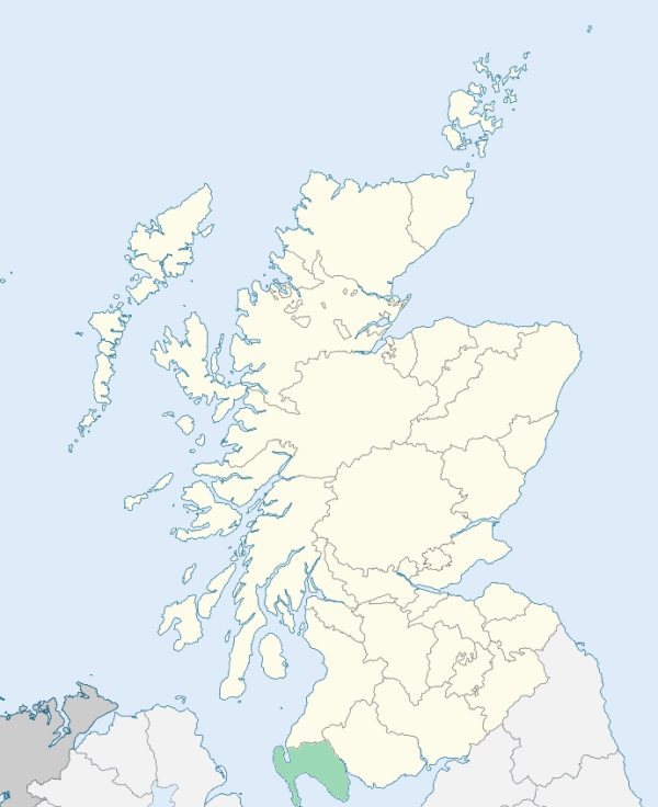
Kirkmaiden is a parish at the southern extremity of the Rhinns of Galloway, Wigtownshire. It is bounded on the north by Stoneykirk, and on all other sides by the sea. (1867: The Imperial Gazetteer of Scotland, by John Marius Wilson).
Balgowan, Clanyard, Curghie, Damnaglaur, Drummore, Kirkmaiden, Low Clanyard, Maryport, Port Logan, Terally
Logan
PRE-REFORMATION GOVERNANCE:
POST-REFORMATION GOVERNANCE:
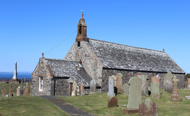
The church of this parish belonged to the Abbey of Saulseat. It was dedicated to St Medan, whose name is borne also by three holy wells within tide-mark on the seashore. Further along the coast in the parish, near Portankil, is St Medan's Cave, with an ancient building attached to it, the two forming the chapel and retreat of a medieval Anchorite. In this parish are Wells of St Ninian and St Katherine, near the sites of chapels of these saints. In addition to the place of worship at St Medan's Cave, there were in the parish of Kirkmaiden at least eight other chapels, namely: Kilstay, which appears to have been dedicated to St Skiach, St Donan's at Kildonan, St Bride's at Kirkbride, St Lashrean's at Kirkleish, St Katherine's at St Katherine's Croft, St Ninian's at Chipperdingan (Tobar Ninian = St Ninian's Well), St Medran's at Kirk Dryne, and St Drostan's at Chapel Rossan. Near Chapel Rossan is Knocktaggart (Cnoc an t-sagairt = The Priest's Hill).
Includes ministers, licentiates, assistants, readers, and clerks.
(1928: Fasti Ecclesiæ Scoticanæ, by Hew Scott, D. D.)
Parish registers turned over to the Registrar-General, as a result of the Registration of Births, Deaths, and Marriages (Scotland) Act of 1854. The letters B. D. and M. indicate Births (or Baptisms), Deaths (or Burials), and Marriages (or Proclamations of Banns) respectively. Numbers indicate separate volumes or books. Note: These records are by no means complete or without damage; consult the Detailed List of the Old Parochial Registers of Scotland (1872) to learn more about the condition of the records.
| OPR and RD Numbers | |||
|---|---|---|---|
| Date Range | Name | Number | Type |
| 1699-1854 | Kirkmaiden | 890 | OPR |
| 1855-1971 | Kirkmaiden | 890 | RD |
| 1972-1988 | Kirkmaiden | 871 | RD |
| 2009 | Dumfries and Galloway, Stranraer | 870 | RD |
| 2026 | Dumfries and Galloway Council; Kirkmaiden Community council | ||
(2009: Parishes and Registration Districts of Scotland - Old and New, National Records of Scotland)
Local community councils (2026) are provided as a potential source of additional information for settlements within the original boundaries of the parish. (Source)
Statistics from informal and official censuses
Alexander, Brown, Cochrane, Galloway, Gibson, Harkness, Jamieson, Marshall, Stevenson, Wallace
Note: Names appearing in research materials, other than censuses. Simple names (First name, surname only) have been omitted unless they appear associated with large properties. All women's names, and men's names with occupations, military ranks, or peerage titles are included.
By the Reverend Mr Robert Callander.
"The return of the population to Dr Webster (1755), was 1051. In 1773, there were 212 families, and 900 persons above 6 years of age. At present (1790) the number of inhabitants is 1380, and of families, 285."
(This section contains excerpts, at times restructured or paraphrased, from an article appearing in Statistical Account of Scotland, Sir John Sinclair, 1791-1799)
Primary Sources:
Statistical Account of Scotland (1791-1799), Volume 1, p. 153
New Statistical Account of Scotland (1834-1845), Volume 4, Section III, p. 196
See Parish Page Sources for all source information and links.