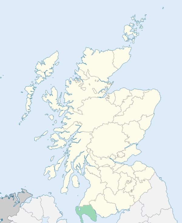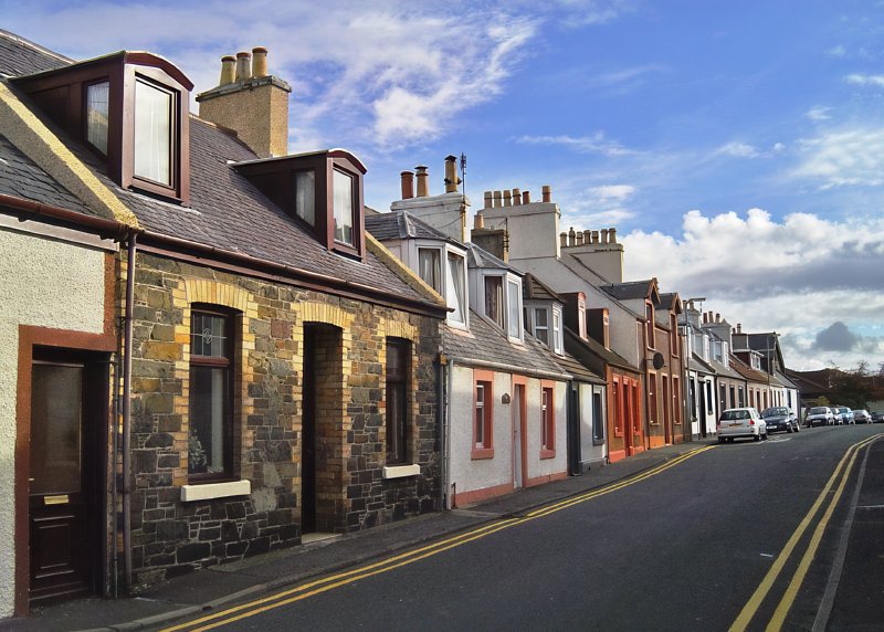
Stranraer is a parish at the head of Loch Ryan, Wigtownshire. It is bounded by Loch Ryan, and by the parishes of Inch and Leswalt. (1867: The Imperial Gazetteer of Scotland, by John Marius Wilson).
Stranraer
PRE-REFORMATION GOVERNANCE:
POST-REFORMATION GOVERNANCE:
Before the Reformation there was at Stranraer a Chapel of St John. On 19 May 1600, the General Assembly sanctioned the founding of a parish for the district. Its disjunction from Inch and Leswalt took some years to carry through. On the erection of the Presbytery of Stranraer in 1622, this new parish became the seat of that Court. In 1766 the heritors of Stranraer built a new parish church. A later church on a different site was erected towards the end of the nineteenth century.
Includes ministers, licentiates, assistants, readers, and clerks.
(1928: Fasti Ecclesiæ Scoticanæ, by Hew Scott, D. D.)
Parish registers turned over to the Registrar-General, as a result of the Registration of Births, Deaths, and Marriages (Scotland) Act of 1854. The letters B. D. and M. indicate Births (or Baptisms), Deaths (or Burials), and Marriages (or Proclamations of Banns) respectively. Numbers indicate separate volumes or books. Note: These records are by no means complete or without damage; consult the Detailed List of the Old Parochial Registers of Scotland (1872) to learn more about the condition of the records.
| OPR and RD Numbers | |||
|---|---|---|---|
| Date Range | Name | Number | Type |
| 1695-1854 | Stranraer | 899 | OPR |
| 1855-1966 | Stranraer | 899 | RD |
| 1967-1971 | Stranraer Area | 899 | RD |
| 1972-2004 | Stranraer Area | 870 | RD |
| 2005-2009 | Dumfries and Galloway, Stranraer | 870 | RD |
| 2026 | Dumfries and Galloway Council; Stranraer, Octrelure and Belmont Community Council | ||
(2009: Parishes and Registration Districts of Scotland - Old and New, National Records of Scotland)
Local community councils (2026) are provided as a potential source of additional information for settlements within the original boundaries of the parish. (Source)
Statistics from informal and official censuses
Brown, Caldwell, Campbell, Edgar, Martin, Monteith, Murray, Smith, Stewart, Thomson
Note: Names appearing in research materials, other than censuses. Simple names (First name, surname only) have been omitted unless they appear associated with large properties. All women's names, and men's names with occupations, military ranks, or peerage titles are included.
By the Reverend Mr John Coulter.
"According to a very accurate enumeration of the inhabitants recently made, there were, at the beginning of the year 1791, no less than 1602 souls. Of these, 260 were below 8 years of age; and 66 sectaries of different denominations.
Stranraer is a royal borough; it is governed by a provost, two baillies, a dean-of-guild, and fifteen counsellors. Tanning is a considerable trade here; Galloway plaiding (a coarse fabric, fitted for the Virginia market) was the staple manufacture here; but the demand for this article ceasing at the commencement of hostilities, the trade was abandoned. To it has succeeded the raising of flax in greater quantities than formerly, and working it up into coarse linens. The fishery is much decreased.
A great number of the young men are bred up to the sea. When the Hon. Keith Stewart was appointed to command the Berwick last war, 70 or 80 volunteers from this town and neighbourhood entered with him."
(This section contains excerpts, at times restructured or paraphrased, from an article appearing in Statistical Account of Scotland, Sir John Sinclair, 1791-1799)
Primary Sources:
Statistical Account of Scotland (1791-1799), Volume 1, p. 357
New Statistical Account of Scotland (1834-1845), Volume 4, Section III, p. 94
See Parish Page Sources for all source information and links.