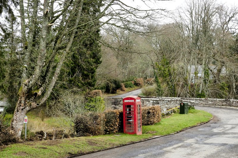
Glentrathen, Lentrathen
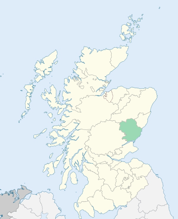
Lintrathen is a parish in the Grampian district of Forfarshire. It is bounded by Kirriemuir, Kingoldrum, Airlie, Alyth, and Glenisla. (1867: The Imperial Gazetteer of Scotland, by John Marius Wilson).
Backwater, Bridgend, Coull, Kirkton, Lintrathen, Melgum Bridge, Pitmudie, Sheethie
PRE-REFORMATION GOVERNANCE:
POST-REFORMATION GOVERNANCE:
The church of Lintrathen was dedicated to St Medan. It belonged to the Priory of Inchmahome.
Disjoined Quoad Sacra Parishes:
Kilry. The parish of Kilry was disjoined from Glenisla, Lintrathen, and Alyth on 14th July 1879.
Includes ministers, licentiates, assistants, readers, and clerks.
Lintrathen (QO)
Kilry (QS)
(1928: Fasti Ecclesiæ Scoticanæ, by Hew Scott, D. D.)
Parish registers turned over to the Registrar-General, as a result of the Registration of Births, Deaths, and Marriages (Scotland) Act of 1854. The letters B. D. and M. indicate Births (or Baptisms), Deaths (or Burials), and Marriages (or Proclamations of Banns) respectively. Numbers indicate separate volumes or books. Note: These records are by no means complete or without damage; consult the Detailed List of the Old Parochial Registers of Scotland (1872) to learn more about the condition of the records.
| OPR and RD Numbers | |||
|---|---|---|---|
| Date Range | Name | Number | Type |
| 1717-1854 | Lintrathen | 302 | OPR |
| 1855-1960 | Lintrathen | 302 | RD |
| 1961-1971 | Lintrathen and Kingoldrum | 302 | RD |
| 1972-1978 | Lintrathen and Kingoldrum | 362 | RD |
| 1979-1984 | Lintrathen | 362 | RD |
| 2009 | Angus, Kirriemuir | 361 | RD |
| 2026 | Angus Council; Kirriemuir Community Council | ||
(2009: Parishes and Registration Districts of Scotland - Old and New, National Records of Scotland)
Local community councils (2026) are provided as a potential source of additional information for settlements within the original boundaries of the parish. (Source)
Statistics from informal and official censuses
Adam, Annand, Dickson, Duncan, Edward, Fenton, Milne, Ramsay, Robertson, Stewart
Note: Names appearing in research materials, other than censuses. Simple names (First name, surname only) have been omitted unless they appear associated with large properties. All women's names, and men's names with occupations, military ranks, or peerage titles are included.
By a Friend to Statistical Inquiries.
"At present the number of inhabitants may be computed at nearly 900. Of these about 40 are denominated farmers, who occupy certain proportions of land, out of which they tear scanty subsistence. With difficulty the inhabitants procure peats, turf, and heath for domestic use. There is no trade nor manufacture in this corner, but such as is necessary to the accommodation of the natives, and their wants are few.
In this sequestered district, there is no town, no village of note, no seat, no mines, nor minerals, no natural curiosities, few manufactures, and little trade; no innkeeper, no baker, no writer, no surgeon, no butcher, no apothecary, and one Seceder only. Hamlets, coarsely built of stone and earth, and covered with thatch, thinly scattered in the valleys, or on the southern declivities of the hills; and a mean village composed of despicable huts, crowded together on the rocky bank of the Melgam, almost opposite to the church, indicate the poverty of the inhabitants, who seem to be in a rude state of society.
Destitute of the elegancies, and most of the conveniences of life, their desires are limited. They enjoy little, and with that little are contented. Attached to their naked soil, they are temperate and sober."
(This section contains excerpts, at times restructured or paraphrased, from an article appearing in Statistical Account of Scotland, Sir John Sinclair, 1791-1799)
Primary Sources:
Statistical Account of Scotland (1791-1799), Volume 13, p. 562
New Statistical Account of Scotland (1834-1845), Volume 11, Section I, p. 640
See Parish Page Sources for all source information and links.