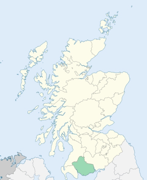
Twynholm is a parish extending in a stripe from north to south in the southern division of Kirkcudbrightshire. It is bounded on the north by Balmaghie, on the east by Tongland, on the southeast by the river and estuary of the River Dee, which divide it from Kirkcudbright, on the south by Borgue, and on the west by Borgue and Girthon. (1867: The Imperial Gazetteer of Scotland, by John Marius Wilson).
Twynholm
Barwhinnock, Compstone
PRE-REFORMATION GOVERNANCE:
POST-REFORMATION GOVERNANCE:
The parishes of Twynholm and Kirkchrist were united about 1654.
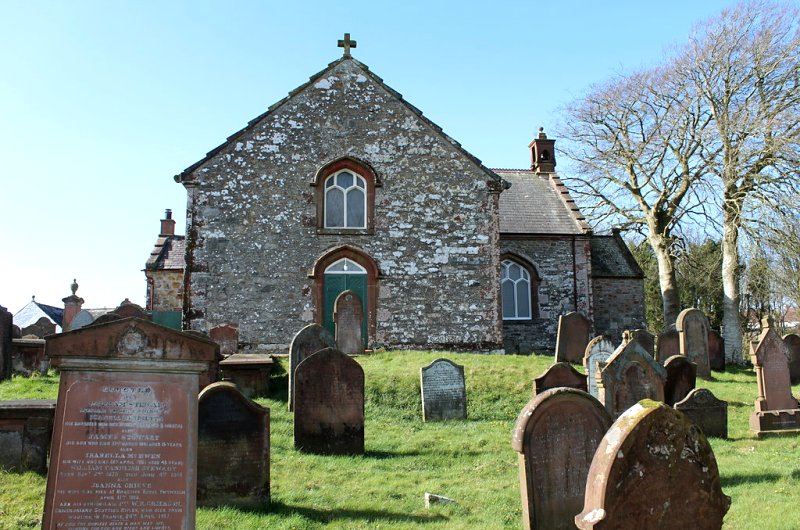
Twynholm. The church of Twynholm belonged to the Abbey of Holyrood. In 1730 it was rebuilt, and in 1818 a new church was erected on another site.
Kirkchrist. In the churchyard the ruin of the old parish church is still standing. At Kirkeoch, near the churchyard, there was a chapel which appears to have been dedicated to St Skiach.
Includes ministers, licentiates, assistants, readers, and clerks.
Twynholm (QO)
Kirkchrist (QS)
(1928: Fasti Ecclesiæ Scoticanæ, by Hew Scott, D. D.)
Parish registers turned over to the Registrar-General, as a result of the Registration of Births, Deaths, and Marriages (Scotland) Act of 1854. The letters B. D. and M. indicate Births (or Baptisms), Deaths (or Burials), and Marriages (or Proclamations of Banns) respectively. Numbers indicate separate volumes or books. Note: These records are by no means complete or without damage; consult the Detailed List of the Old Parochial Registers of Scotland (1872) to learn more about the condition of the records.
| OPR and RD Numbers | |||
|---|---|---|---|
| Date Range | Name | Number | Type |
| 1694-1854 | Twynholm | 883 | OPR |
| 1855-1968 | Twynholm | 883 | RD |
| 2009 | Dumfries and Galloway, Kirkcudbright | 865 | RD |
| 2026 | Dumfries and Galloway Council; Twynholm Community Council | ||
(2009: Parishes and Registration Districts of Scotland - Old and New, National Records of Scotland)
Local community councils (2026) are provided as a potential source of additional information for settlements within the original boundaries of the parish. (Source)
Statistics from informal and official censuses
Baird, Black, Cannon, Gordon, Lafferty, Milligan, Robertson, Scott, Smith, Stewart
Note: Names appearing in research materials, other than censuses. Simple names (First name, surname only) have been omitted unless they appear associated with large properties. All women's names, and men's names with occupations, military ranks, or peerage titles are included.
By the Reverend Dr John Scott, Minister.
"The number of souls in the parish in 1794 was 620, of whom 120 were under 8 years of age. There were 2 Anbiturgher Seceders, and 2 Roman Catholics. About 35 persons were born in Ireland, 3 in the Isle of Man. There were 129 inhabited houses.
Of professions there were 44 farmers and cottagers, and their families, 10 tailors, 7 weavers, 5 masons, 5 joiners, 2 smiths, 3 millers, 2 shoemakers, and 1 surgeon.
Several years ago, a gentleman built a house in this parish, for distilling British spirits. An alteration in the distillery laws, and other circumstances, occasioned him to drop this branch of business; upon which he proposed to convert the house into a manufacturing house for cotton. It is now converted into a woollen manufacture; a village has begun nigh the building. There are properly speaking, as yet no villages in this parish; for a few houses built upon the military road below the church, and the begun village above mentioned, do not deserve that name.
The people in general are cheerful, sober, industrious, and humane; of an aspiring and independent spirit. There are not at present above four men in the station of servants, that were born and educated in this parish. Seventeen young men, if not more, within these few years, have gone to England, America, and the West Indies, in the mercantile line; three to the sea; besides several families that emigrated before the commencement of the American war."
(This section contains excerpts, at times restructured or paraphrased, from an article appearing in Statistical Account of Scotland, Sir John Sinclair, 1791-1799)
Primary Sources:
Statistical Account of Scotland (1791-1799), Volume 15, p. 75
New Statistical Account of Scotland (1834-1845), Volume 4, Section II, p. 37
See Parish Page Sources for all source information and links.