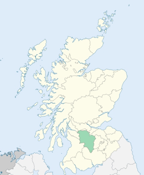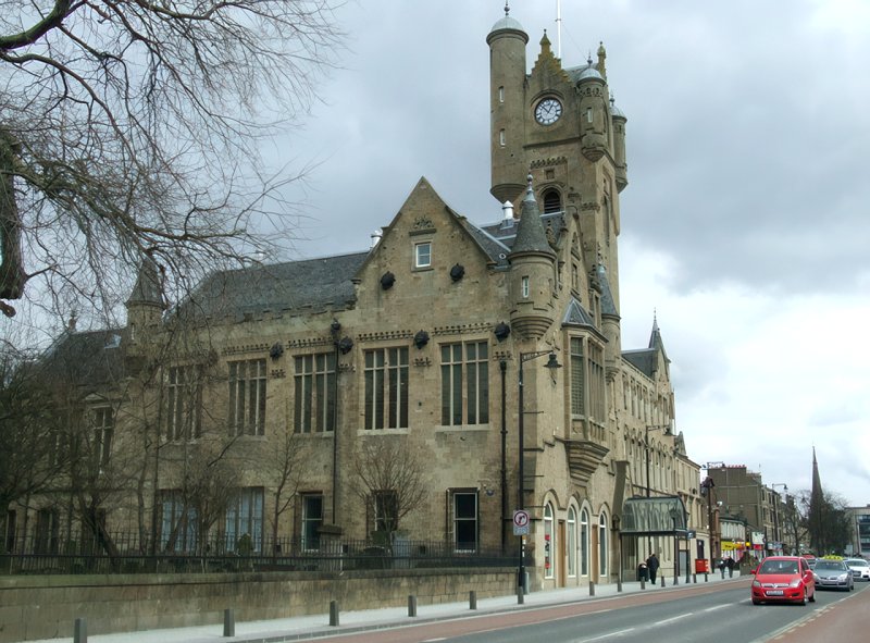
Rutherglen and Polmadie
Rutherglen is a parish in the lower ward of Lanarkshire. It is bounded by Renfrewshire, and by the parishes of Govan, Barony of Glasgow, Cambuslang, and Carmunnock. (1867: The Imperial Gazetteer of Scotland, by John Marius Wilson).
Bankhead, Burnside, Eastfield, High Crosshill, Rutherglen
Bankhead, Farme, Gallowflat, Rosebank, Scotstown, Shawfield, Stonelaw
PRE-REFORMATION GOVERNANCE:
POST-REFORMATION GOVERNANCE:
The parishes of Rutherglen and Polmadie were united before the Reformation. The church of Rutherglen was dedicated to St Mary. It belonged to the Abbey of Paisley. In 1791 the church was rebuilt. Rutherglen had a fair on Trinity Sunday, and another on St Luke's Day. There was a hospital of St John at Polmadie, founded before 1319.
Disjoined Quoad Sacra Parishes:
Wardlawhill. In 1884 mission work was begun here in a building which had been a congregational chapel. The parish of Wardlawhill was disjoined from Rutherglen on 9 March 1891.
West Rutherglen. A church was built here in 1836, and on 30 May of that year the General Assembly granted a constitution for it. This parish was disjoined from Rutherglen on 29 January 1868.
Includes ministers, licentiates, assistants, readers, and clerks.
Rutherglen (QO)
Wardlawhill (QS)
West Rutherglen (QS)
(1928: Fasti Ecclesiæ Scoticanæ, by Hew Scott, D. D.)
Parish registers turned over to the Registrar-General, as a result of the Registration of Births, Deaths, and Marriages (Scotland) Act of 1854. The letters B. D. and M. indicate Births (or Baptisms), Deaths (or Burials), and Marriages (or Proclamations of Banns) respectively. Numbers indicate separate volumes or books. Note: These records are by no means complete or without damage; consult the Detailed List of the Old Parochial Registers of Scotland (1872) to learn more about the condition of the records.
| OPR and RD Numbers | |||
|---|---|---|---|
| Date Range | Name | Number | Type |
| 1698-1854 | Rutherglen | 654 | OPR |
| 1855-1856 | Rutherglen Burgh | 654-1 | RD |
| 1855-1856 | Rutherglen Landward | 654-2 | RD |
| 1857-1971 | Rutherglen | 654 | RD |
| 1972-1979 | Rutherglen | 572 | RD |
| 1980-2004 | Rutherglen | 590 | RD |
| 2005-2008 | Rutherglen, South Lanarkshire | 590 | RD |
| 2009 | South Lanarkshire, Rutherglen | 590 | RD |
| 2026 | South Lanarkshire Council; Rutherglen Community Council Burnside Community Council | ||
(2009: Parishes and Registration Districts of Scotland - Old and New, National Records of Scotland)
Local community councils (2026) are provided as a potential source of additional information for settlements within the original boundaries of the parish. (Source)
Statistics from informal and official censuses
Aitken, Brown, Hamilton, Miller, Paterson, Reid, Robertson, Smith, Thomson, Wilson
Note: Names appearing in research materials, other than censuses. Simple names (First name, surname only) have been omitted unless they appear associated with large properties. All women's names, and men's names with occupations, military ranks, or peerage titles are included.
By the Reverend Mr David Ure, A. M..
"The parish contains 286 dwelling-houses, inhabited by 444 families, containing 1860 persons; of whom 907 are males, 953 females, and 297 children under 6 years of age. The number of servants is 69, of whom 21 are males.
The present inhabitants are active and industrious, and under their good management, the peace of society is preserved. They are considerable adepts in borough politics. This, however, does not, in general, obstruct an industrious application to their several employments. They are strongly attached to the Established Church; there being not above 8 or 10 families belonging to sectaries.
The number of individuals employed in each occupation is: 2 bakers, 1 barber, 2 brewers, 18 carters, 60 coal-hewers, 3 coopers, 26 farmers, 1 flax-dresser, 3 fleshers, 4 gardeners, 10 hatmakers, 8 hosiers, 55 labourers, 2 millers, 15 shoemakers, 37 smiths, 1 surgeon, 11 tailors, 1 watchmaker, 254 weavers, and 34 wrights and masons. About three-fourths of the smiths are nailers, and work for employers in Glasgow. All the women in the parish find abundance of suitable employment. Every 4 looms give work to at least one woman, who winds the yarn for them. There are no fewer than 22 tambouring machines in the town; 4 young girls commonly work at each."
(This section contains excerpts, at times restructured or paraphrased, from an article appearing in Statistical Account of Scotland, Sir John Sinclair, 1791-1799)
Primary Sources:
Statistical Account of Scotland (1791-1799), Volume 9, p. 1
New Statistical Account of Scotland (1834-1845), Volume 6, p. 373
See Parish Page Sources for all source information and links.