
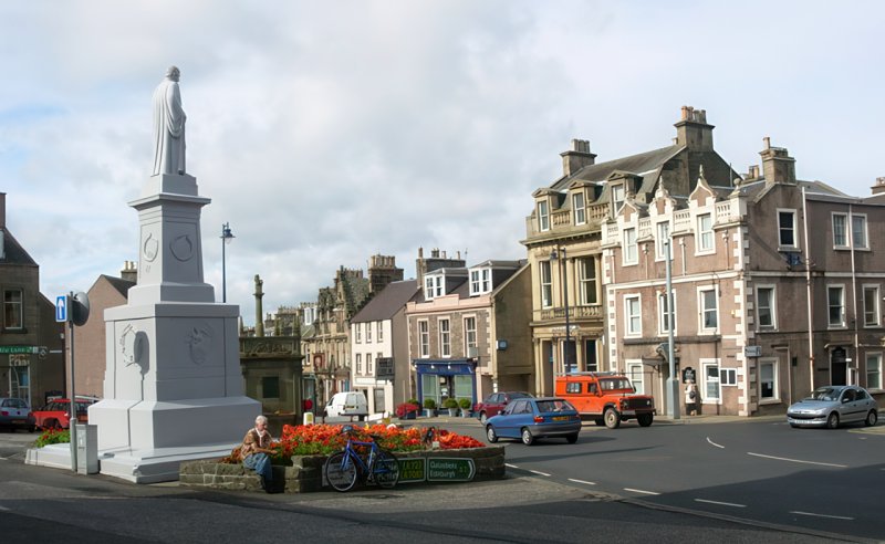
BOUNDARY AND NAME CHANGES:
Burghs
Old Districts (Before 1929)
New Districts (1930-1975)
Regions and Districts (1975-1996)
Boundary Changes Summary: (See details)
Roberton - Partly in Roxburghshire until 1891
SURNAMES:
Most Common Surnames:
Anderson, Brown, Douglas, Hogg, Murray, Scott, Smith, Thomson, Turnbull, Wilson
Common Surnames:
A: Amos, Armstrong
B: Beattie, Blyth, Brydon
D: Dalgleish, Dickson
E: Elliot
G: Goodfellow, Graham, Grieve
I: Inglis
J: Jackson, Johnston, Johnstone
K: Kennedy
L: Laidlaw, Little
M: Melrose, Mitchell
P: Pringle
R: Roden, Rutherford
S: Sanderson
T: Tait
Y: Young
POPULATION:
1755: 4,021
1801: 5,388
1811: 5,889
1821: 6,637
1831: 6,833
1841: 7,990
1851: 9,809
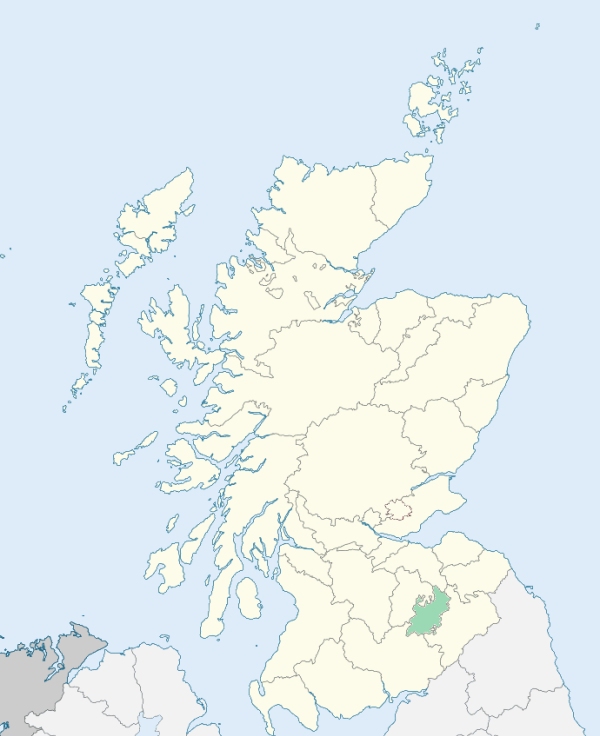
Location of Selkirkshire
View more maps at Wikipedia
Note: OPR stands for Old Parochial Registers, which are the earliest records of baptisms, marriages, and burials kept by The Church of Scotland. The OPR number is useful, and often necessary, in tracking down these records. The Church of Scotland kept the records before civil registration was introduced in 1855. Civil registration district numbers (RD numbers) are included in the timelines on the Parish pages. See the All Parishes Index for ancient parishes and parishes created or subdivided from older parishes.
| Parish Name | OPR Number |
|---|---|
| Ettrick | 774 |
| Galashiels | 775 |
| Kirkhope | 776 |
| Roberton | 777 |
| Selkirk | 778 |
| Yarrow | 779 |