Robertown
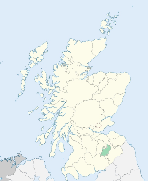
Roberton is a parish, partly in Roxburghshire, and partly in Selkirkshire, lying on that part of their border which marches with Dumfriesshire. It is bounded on the west by Dumfriesshire, and on other sides by the parishes of Ettrick, Kirkhope, Selkirk, Ashkirk, Wilton, and Hawick. (1867: The Imperial Gazetteer of Scotland, by John Marius Wilson).
Craik, Deanburnhaugh, Howpasley, Roberton
Borthwick Shiels, Borthwickbrae, Chisholm
The parish of Roberton was situated partly in the county of Selkirk and partly in the county of Roxburgh. The parish was placed wholly in the county of Roxburgh. See affected properties and landholders. (1892: Boundary of counties and parishes in Scotland as settled by the Boundary Commissioners under the Local Government Act, 1889, by Hay Shennan)
PRE-REFORMATION GOVERNANCE:
POST-REFORMATION GOVERNANCE:
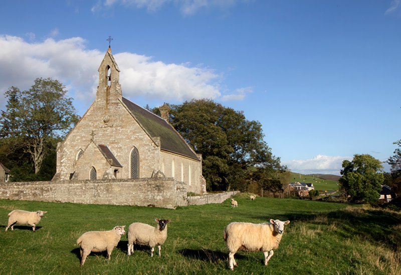
Roberton. The church was removed to Roberton in the seventeenth century. There was a chapel at Borthwick Brae. Hassendean. The church, dedicated to St Mungo, belonged to the Abbey of Melrose. In 1658 this parish was joined to Roberton, but was disjoined, 5 July 1666. About 1690 part of Hassendean was annexed to Wilton, and the rest united to Minto.
Includes ministers, licentiates, assistants, readers, and clerks.
Roberton (QO)
Hassendean (QO)
(1928: Fasti Ecclesiæ Scoticanæ, by Hew Scott, D. D.)
Parish registers turned over to the Registrar-General, as a result of the Registration of Births, Deaths, and Marriages (Scotland) Act of 1854. The letters B. D. and M. indicate Births (or Baptisms), Deaths (or Burials), and Marriages (or Proclamations of Banns) respectively. Numbers indicate separate volumes or books. Note: These records are by no means complete or without damage; consult the Detailed List of the Old Parochial Registers of Scotland (1872) to learn more about the condition of the records.
| OPR and RD Numbers | |||
|---|---|---|---|
| Date Range | Name | Number | Type |
| 1679-1854 | Roberton | 777 | OPR |
| 1855-1892 | Roberton | 777 | RD |
| 1893-1967 | Roberton | 802b | RD |
| 2009 | Scottish Borders, Hawick | 823 | RD |
| 2026 | Scottish Borders Council; Upper Teviotdale and Borthwick Water Community Council | ||
(2009: Parishes and Registration Districts of Scotland - Old and New, National Records of Scotland)
Local community councils (2026) are provided as a potential source of additional information for settlements within the original boundaries of the parish. (Source)
Statistics from informal and official censuses
Anderson, Armstrong, Beattie, Elliot, Jackson, Pringle, Rutherford, Scott, Smith, Wilson
Note: Names appearing in research materials, other than censuses. Simple names (First name, surname only) have been omitted unless they appear associated with large properties. All women's names, and men's names with occupations, military ranks, or peerage titles are included.
By the Reverend Mr James Hay, Minister.
"The number of inhabitants, of all ages, in 1791 and 1792, was 629. Of these there are 309 males, 320 females, 85 married pairs, and 136 families. There are a good many separatists from the Established Church; Burghers, Antiburghers, and Cameronians; but no Episcopalians or Roman Catholics.
Of the 136 families, 28 are tenantry; the rest consist of shepherds, hinds, day labourers, and some tradesmen. The number of the latter, owing to the neighbourhood of Hawick, is small. There is not a shoemaker in the parish. Formerly there were several hamlets, of which no vestiges now remain. The greatest collection of families, in one place, does not exceed 5 or 6. There is no village, and no licensed retailer of spirits in the parish. The expense of rearing houses is the greatest obstacle to population. Cottages that fall down are seldom rebuilt.
The inhabitants, in their several stations, are comfortable and independent; nor are there wanting instances of considerable wealth. They are equally industrious and frugal."
(This section contains excerpts, at times restructured or paraphrased, from an article appearing in Statistical Account of Scotland, Sir John Sinclair, 1791-1799)
Primary Sources:
Statistical Account of Scotland (1791-1799), Volume 6, p. 306
New Statistical Account of Scotland (1834-1845), Volume 3, Section I, p. 87
See Parish Page Sources for all source information and links.