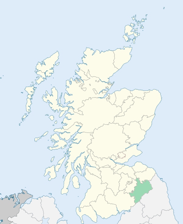
Wilton is a parish in Teviotdale, Roxburghshire. It is bounded on the north-west by Ashkirk, and a detached part of Selkirk, on the north and north-east by Minto, on the east by Cavers, on the south-east and south by Hawick, and on the west by Roberton. (1867: The Imperial Gazetteer of Scotland, by John Marius Wilson).
Appletree Hall, Dean, Hawick, Parkhouses, Wilton
The parish of Wilton had a small detached part situated within the burgh of Hawick and on the Hawick side of the River Teviot. An exchange of territory was effected between these two parishes, whereby the detached part of Wilton was transferred to Hawick, and the portion of Hawick parish was transferred to Wilton. See affected properties and landholders. (1892: Boundary of counties and parishes in Scotland as settled by the Boundary Commissioners under the Local Government Act, 1889, by Hay Shennan)
PRE-REFORMATION GOVERNANCE:
POST-REFORMATION GOVERNANCE:
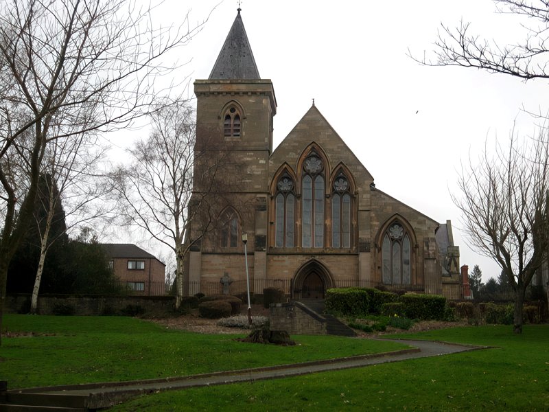
Wilton. Previous to the Reformation the Rectory of Wilton belonged to the Archbishop of Glasgow. A new church was opened 24 November 1861. In 1908 this was wholly remodeled and enlarged.
Hassendean. The church, dedicated to St Mungo, belonged to the Abbey of Melrose. In 1658 this parish was joined to Roberton, but was disjoined, 5 July 1666. About 1690 part of Hassendean was annexed to Wilton, and the rest united to Minto.
Includes ministers, licentiates, assistants, readers, and clerks.
Wilton (QO)
Hassendean (QO)
(1928: Fasti Ecclesiæ Scoticanæ, by Hew Scott, D. D.)
Parish registers turned over to the Registrar-General, as a result of the Registration of Births, Deaths, and Marriages (Scotland) Act of 1854. The letters B. D. and M. indicate Births (or Baptisms), Deaths (or Burials), and Marriages (or Proclamations of Banns) respectively. Numbers indicate separate volumes or books. Note: These records are by no means complete or without damage; consult the Detailed List of the Old Parochial Registers of Scotland (1872) to learn more about the condition of the records.
| OPR and RD Numbers | |||
|---|---|---|---|
| Date Range | Name | Number | Type |
| 1694-1854 | Wilton | 810 | OPR |
| 1855-1895 | Wilton | 810 | RD |
| 1896-1904 | Wilton | 789-2 | RD |
| 2009 | Scottish Borders, Hawick | 823 | RD |
| 2026 | Scottish Borders Council; Hawick Community Council | ||
(2009: Parishes and Registration Districts of Scotland - Old and New, National Records of Scotland)
Local community councils (2026) are provided as a potential source of additional information for settlements within the original boundaries of the parish. (Source)
Statistics from informal and official censuses
Anderson, Bell, Murray, Oliver, Reid, Richardson, Robson, Scott, Thomson, Turnbull
Note: Names appearing in research materials, other than censuses. Simple names (First name, surname only) have been omitted unless they appear associated with large properties. All women's names, and men's names with occupations, military ranks, or peerage titles are included.
"The population, in 1755, as returned to Dr Webster, amounted to 936 souls. The number, at present, is nearly the same, being rather above 900. The Seceders are numerous; and there are a few of the Episcopal and Relief persuasions. A carpet manufactory employs 14, and an inkle*, 19 looms. The people are, in general, industrious, sober-minded, compassionate, and devout. Work is not difficult to be had; and provisions are reasonable."
*Inkle: A narrow, linen tape or braid woven on a loom.
(This section contains excerpts, at times restructured or paraphrased, from an article appearing in Statistical Account of Scotland, Sir John Sinclair, 1791-1799)
Primary Sources:
Statistical Account of Scotland (1791-1799), Volume 2, p. 394
New Statistical Account of Scotland (1834-1845), Volume 3, Section I, p. 76
See Parish Page Sources for all source information and links.