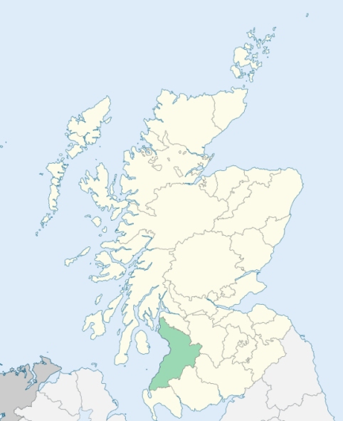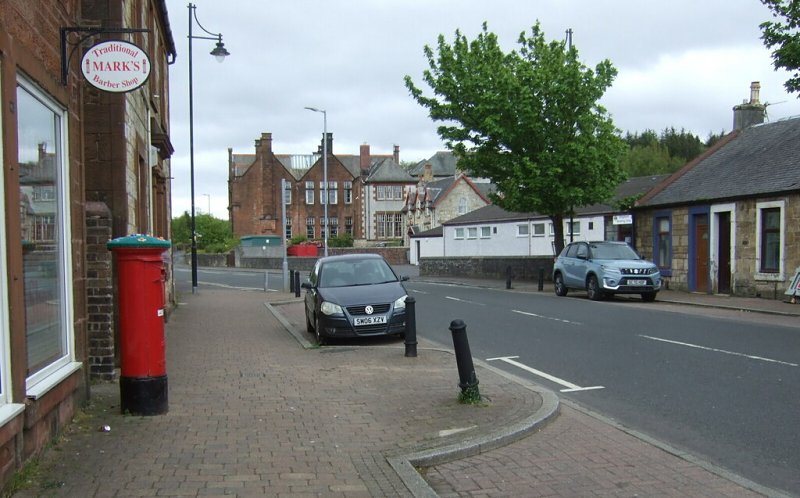
Dreghorn is a parish in the southern part of the district of Cunningham, Ayrshire. On three sides its boundary is marked by streams - on the east by Garrier Burn, which divides it from Kilmaurs, - on the south by Irvine Water, which divides it from Dundonald, - and on the west and north-west by Annock Water, which divides it from Irvine and Stewarton, and on the north-east the parish is bounded by Fenwick. (1867: The Imperial Gazetteer of Scotland, by John Marius Wilson).
Bankhead, Dreghorn, Overton, Perceton
Perceton
PRE-REFORMATION GOVERNANCE:
POST-REFORMATION GOVERNANCE:
The parishes of Dreghorn and Pierstoun were united in 1688. The church of Dreghorn belonged to the Abbey of Kilwinning. It was rebuilt in 1780. At Springside within the bounds there is a mission chapel.
Disjoined Quoad Sacra Parishes:
Crosshouse. The parish was disjoined from Kilmaurs and Dreghorn, 13 March 1882.
Includes ministers, licentiates, assistants, readers, and clerks.
Dreghorn (QO)
Pierston (QO)
Crosshouse (QS)
(1928: Fasti Ecclesiæ Scoticanæ, by Hew Scott, D. D.)
Parish registers turned over to the Registrar-General, as a result of the Registration of Births, Deaths, and Marriages (Scotland) Act of 1854. The letters B. D. and M. indicate Births (or Baptisms), Deaths (or Burials), and Marriages (or Proclamations of Banns) respectively. Numbers indicate separate volumes or books. Note: These records are by no means complete or without damage; consult the Detailed List of the Old Parochial Registers of Scotland (1872) to learn more about the condition of the records.
| OPR and RD Numbers | |||
|---|---|---|---|
| Date Range | Name | Number | Type |
| 1759-1854 | Dreghorn | 589 | OPR |
| 1855-1968 | Dreghorn | 589 | RD |
| 2009 | North Ayrshire, Irvine | 672 | RD |
| 2026 | North Ayrshire Council; Dreghorn Community Council | ||
(2009: Parishes and Registration Districts of Scotland - Old and New, National Records of Scotland)
Local community councils (2026) are provided as a potential source of additional information for settlements within the original boundaries of the parish. (Source)
Statistics from informal and official censuses
Dunlop, Ferguson, Frew, Howat, Lindsay, Muir, Reid, Smith, Stewart, Wilson
Note: Names appearing in research materials, other than censuses. Simple names (First name, surname only) have been omitted unless they appear associated with large properties. All women's names, and men's names with occupations, military ranks, or peerage titles are included.
By the Reverend Mr Michael Todd.
"The number of souls at present is about 830. Of these there are about 400 males, and 430 females; there are 206 below 10 years of age. The inhabitants have decreased considerably within the last 30 years. This is owing to two or three small farms being thrown in to one. Another cause of their decrease is, that no additional houses have been built in the village; since I came to the parish there are several houses fallen down and have not been rebuilt.
In the west end of the parish there is a colliery; the greatest part of the coal is exported to Ireland from the port of Irvine. There is only one village in the parish, where the church is built. There are no manufactures carried on; the houses being very bad are low rented, which induces old or poor people to occupy them. There are a few weavers in the village, and also in other parts of the parish, but these are employed in weaving such kinds of cloth as are used by the country people.
The inhabitants both in the village and parish are in general sober, attentive, and industrious. There are at present 3 alehouses in the villages, and one in another part of the parish; but the business they have is very inconsiderable, the principal part of it arising from travelers."
(This section contains excerpts, at times restructured or paraphrased, from an article appearing in Statistical Account of Scotland, Sir John Sinclair, 1791-1799)
Primary Sources:
Statistical Account of Scotland (1791-1799), Volume 4, p. 280
New Statistical Account of Scotland (1834-1845), Volume 5, Section I, p. 523
See Parish Page Sources for all source information and links.