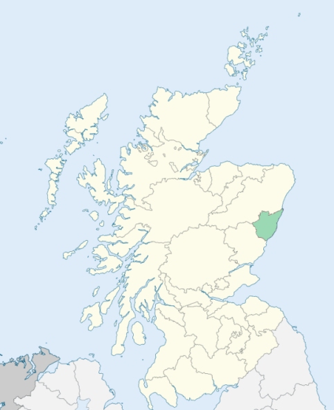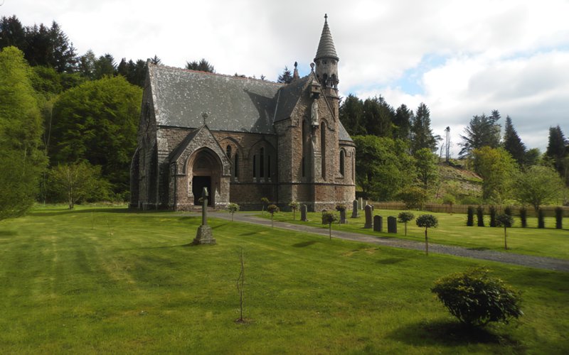
Fordoun is a parish in Kincardineshire. It is bounded by Strachan, Glenbervie, Arbuthnot, Laurencekirk, Marykirk, and Fettercairn. (1867: The Imperial Gazetteer of Scotland, by John Marius Wilson).
Auchinblae, Fordoun, Kirkton, Pitarrow
PRE-REFORMATION GOVERNANCE:
POST-REFORMATION GOVERNANCE:
The old church of Fordoun was dedicated to St Palladius. It was a mensal kirk of the Archbihsop of St Andrews. In the Friar's Glen at Drumtochty, within the bounds, a Priory of the White Friars was founded in 1402 by James Fraser of Frendracht. At Kincardine stood a chapel of St Katherine of Siena. There was a Well of St Palladius at Fordoun, where also a fair of St Palladius was held. Kincardine too had its yearly fair in honour of St Katherinine of Siena.
Includes ministers, licentiates, assistants, readers, and clerks.
(1928: Fasti Ecclesiæ Scoticanæ, by Hew Scott, D. D.)
Parish registers turned over to the Registrar-General, as a result of the Registration of Births, Deaths, and Marriages (Scotland) Act of 1854. The letters B. D. and M. indicate Births (or Baptisms), Deaths (or Burials), and Marriages (or Proclamations of Banns) respectively. Numbers indicate separate volumes or books. Note: These records are by no means complete or without damage; consult the Detailed List of the Old Parochial Registers of Scotland (1872) to learn more about the condition of the records.
| OPR and RD Numbers | |||
|---|---|---|---|
| Date Range | Name | Number | Type |
| 1693-1854 | Fordoun | 259 | OPR |
| 1855-1967 | Fordoun | 259 | RD |
| 2009 | Aberdeenshire, Laurencekirk | 344 | RD |
| 2026 | Aberdeenshire Council; Mearns Community Council | ||
(2009: Parishes and Registration Districts of Scotland - Old and New, National Records of Scotland)
Local community councils (2026) are provided as a potential source of additional information for settlements within the original boundaries of the parish. (Source)
Statistics from informal and official censuses
Brown, Christie, Clark, Duncan, Greig, Milne, Mitchell, Murray, Smith, Young
Note: Names appearing in research materials, other than censuses. Simple names (First name, surname only) have been omitted unless they appear associated with large properties. All women's names, and men's names with occupations, military ranks, or peerage titles are included.
By the Reverend Mr Alexander Leslie.
"In the year 1771 there were about 2400 people in the parish; now (1790,) there are only 2258; of these are about 1158 males, and 1100 females. Of the Established Church are 2001; Episcopals, 106; Seceders, 151. The cause of depopulation seems to be the union of farms. The number of inhabited houses is about 470.
The language spoken is English, with the provincial accent. The people here are taller and stronger made than the generality of those to the north or west. Several of them exceed 6 feet. They are in general industrious.
The principal manufacture is spinning of flax, and weaving of cloth, especially linen cloth. Being at some distance from the sea, the parishioners seem not to be fond of a seafaring life, and few of them choose a military one. They are in general humane and generous, contented and happy. They dress better, and live better in their own houses now, than they did 20 or 30 years ago."
(This section contains excerpts, at times restructured or paraphrased, from an article appearing in Statistical Account of Scotland, Sir John Sinclair, 1791-1799)
Primary Sources:
Statistical Account of Scotland (1791-1799), Volume 4, p. 494
New Statistical Account of Scotland (1834-1845), Volume 11, Section II, p. 66
See Parish Page Sources for all source information and links.