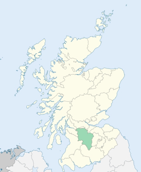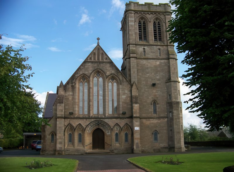
Stonehouse is a parish in the middle ward of Lanarkshire. It is bounded by the parishes of Hamilton, Dalserf, Lesmahagow, Avondale, and Glassford. (1867: The Imperial Gazetteer of Scotland, by John Marius Wilson).
Bowhouse, Dykehead, Sandford, Spittle, Stonehouse
Glenavon
PRE-REFORMATION GOVERNANCE:
POST-REFORMATION GOVERNANCE:
The church of Stonehouse was dedicated to St Ninian. It belonged to the collegiate church of Bothwell. There was a hospital at Stonehouse, and the Knights Templars had a preceptory here. At Chapel, in the parish, there was a Chapel of St Laurence.
Includes ministers, licentiates, assistants, readers, and clerks.
(1928: Fasti Ecclesiæ Scoticanæ, by Hew Scott, D. D.)
Parish registers turned over to the Registrar-General, as a result of the Registration of Births, Deaths, and Marriages (Scotland) Act of 1854. The letters B. D. and M. indicate Births (or Baptisms), Deaths (or Burials), and Marriages (or Proclamations of Banns) respectively. Numbers indicate separate volumes or books. Note: These records are by no means complete or without damage; consult the Detailed List of the Old Parochial Registers of Scotland (1872) to learn more about the condition of the records.
| OPR and RD Numbers | |||
|---|---|---|---|
| Date Range | Name | Number | Type |
| 1696-1854 | Stonehouse | 656 | OPR |
| 1855-1968 | Stonehouse | 656 | RD |
| 1969-1971 | Strathaven | 656 | RD |
| 1972-2004 | Strathaven | 579 | RD |
| 2005-2008 | Strathaven, South Lanarkshire | 579 | RD |
| 2009 | South Lanarkshire, Strathaven | 579 | RD |
| 2026 | (Stonehouse) South Lanarkshire Council; Stonehouse Community Council | ||
| 2026 | (Strathaven) South Lanarkshire Council; Strathaven and Glassford Community Council | ||
(2009: Parishes and Registration Districts of Scotland - Old and New, National Records of Scotland)
Local community councils (2026) are provided as a potential source of additional information for settlements within the original boundaries of the parish. (Source)
Statistics from informal and official censuses
Brown, Gray, Hamilton, Jackson, Miller, Scott, Shearer, Stewart, Thomson, Wilson
Note: Names appearing in research materials, other than censuses. Simple names (First name, surname only) have been omitted unless they appear associated with large properties. All women's names, and men's names with occupations, military ranks, or peerage titles are included.
By the Reverend Mr James Morehead.
"By a list made out by the present minister in November last, there were found to be 1060 souls in the parish; of whom 593 resided in the village, and 467 in the country. Of the above 1060, there are in the village 263 males and 330 females; in the country 222 males and 245 females; total 485 males and 575 females. There are 161 families in the village, and 99 families in the country.
It is not easy to ascertain the precise number of dissenters from the Established Church, principally, because many scarcely know to what particular sect they belong. Such heads of families, as have come to a determination on this point are: 4 Cameronians, 5 Antiburghers, 21 Presbytery of Relief, and 5 Burghers. On the supposition that the above heads are followed by their families, the number of dissenters will be somewhat more than 140.
There are 56 farmers, 131 weavers, 15 shoemakers, 9 masons, 6 wrights, 6 miners, 4 smiths, 6 millers, 6 tailors, and 2 coopers. There are 4 alehouses, who have taken out a licence, all in the village. The difference betwixt employing cottagers and hired servants, in agriculture, cannot be ascertained here, few or none in the parish, having employed the former.
The people, in general, are of a middle size, healthy in their constitution, decent in their conduct, and, though they may have some real, and some imaginary grievances, yet they are as much contented with their state, as most of their neighbours."
(This section contains excerpts, at times restructured or paraphrased, from an article appearing in Statistical Account of Scotland, Sir John Sinclair, 1791-1799)
Primary Sources:
Statistical Account of Scotland (1791-1799), Volume 2, p. 223
New Statistical Account of Scotland (1834-1845), Volume 6, p. 468
See Parish Page Sources for all source information and links.