Strageith
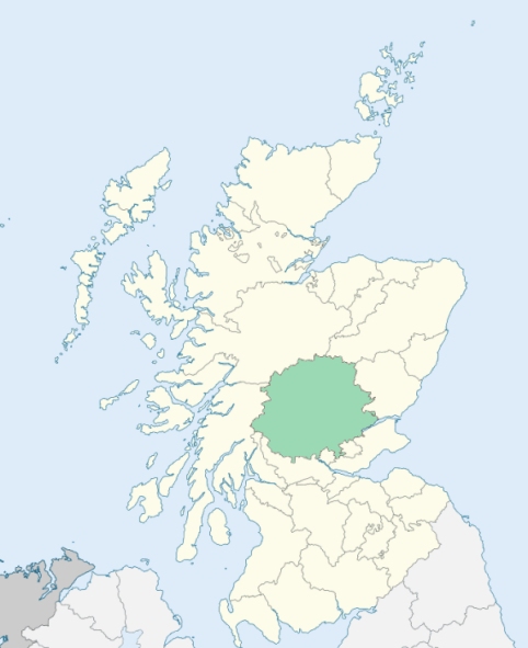
Blackford is a parish in the south-eastern part of Perthshire. It is bounded on the south by the counties of Clackmannan and Stirling, and on the other sides by the parishes of Dunblane, Muthil, Crieff, Trinity-Gask, Auchterarder, and Glendevon. (1867: The Imperial Gazetteer of Scotland, by John Marius Wilson).
Blackford, Muirton, Tullibardine
Glenagles House, Kincardine
A detached, or nearly detached, part of the parish of Blackford was annexed to Glendevon. See affected properties and landholders. (1892: Boundary of counties and parishes in Scotland as settled by the Boundary Commissioners under the Local Government Act, 1889, by Hay Shennan)
PRE-REFORMATION GOVERNANCE:
POST-REFORMATION GOVERNANCE:
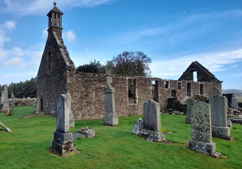
The church of Strageith was dedicated to St Patrick. It belonged to the Abbey of Inchaffray. In this parish is the ancient collegiate church of Tullibardine, founded in 1446 by Sir David Murray of Tullibardine, and dedicated to the Holy Trinity.
Includes ministers, licentiates, assistants, readers, and clerks.
(1928: Fasti Ecclesiæ Scoticanæ, by Hew Scott, D. D.)
Parish registers turned over to the Registrar-General, as a result of the Registration of Births, Deaths, and Marriages (Scotland) Act of 1854. The letters B. D. and M. indicate Births (or Baptisms), Deaths (or Burials), and Marriages (or Proclamations of Banns) respectively. Numbers indicate separate volumes or books. Note: These records are by no means complete or without damage; consult the Detailed List of the Old Parochial Registers of Scotland (1872) to learn more about the condition of the records.
| OPR and RD Numbers | |||
|---|---|---|---|
| Date Range | Name | Number | Type |
| 1738-1854 | Blackford | 333 | OPR |
| 1855-1963 | Blackford | 333 | RD |
| 2009 | Perth and Kinross, Auchterarder | 395 | RD |
| 2026 | Perth and Kinross Council; Blackford Community Council | ||
(2009: Parishes and Registration Districts of Scotland - Old and New, National Records of Scotland)
Local community councils (2026) are provided as a potential source of additional information for settlements within the original boundaries of the parish. (Source)
Statistics from informal and official censuses
Anderson, Campbell, Gilmour, King, Robertson, Scobie, Sharp, Smith, Taylor, Wilson
Note: Names appearing in research materials, other than censuses. Simple names (First name, surname only) have been omitted unless they appear associated with large properties. All women's names, and men's names with occupations, military ranks, or peerage titles are included.
By the Reverend Mr John Stevenson.
"In the year 1787, the number of souls amounted to 1360, of which 650 were males, and 710 females; all of whom reside in the country, as there are no towns or villages in the parish. Within the bounds of this parish, there are 90 farmers, each of whom keep a plough, and whose families amount in whole to 432 old and young; and, including servants, male and female to 669. But, besides these, there are 92 families, whose number amount to 359, who live upon small pendicles of land.
The people have nothing remarkable in their size, strength, or features; they are of the middle size, of a dusky complexion, have a serious turn, and are very zealous in religious matters. The women are the only manufacturers in this parish. From the flax that is raised in it, they spin a good deal of linen yarn, and make many pieces of coarse linen cloth for sale; and, by their industry, raise a part of the rent that is paid to the landlord."
(This section contains excerpts, at times restructured or paraphrased, from an article appearing in Statistical Account of Scotland, Sir John Sinclair, 1791-1799)
Primary Sources:
Statistical Account of Scotland (1791-1799), Volume 3, p. 203
New Statistical Account of Scotland (1834-1845), Volume 10, p. 297
See Parish Page Sources for all source information and links.