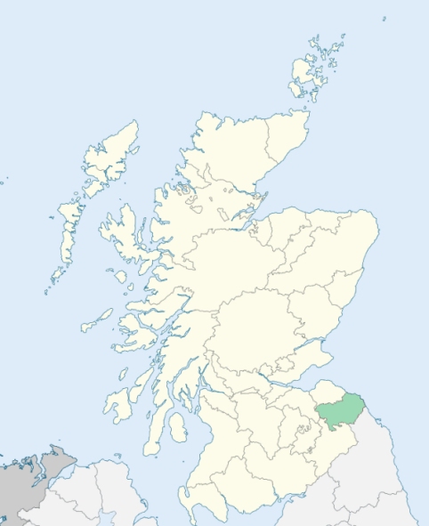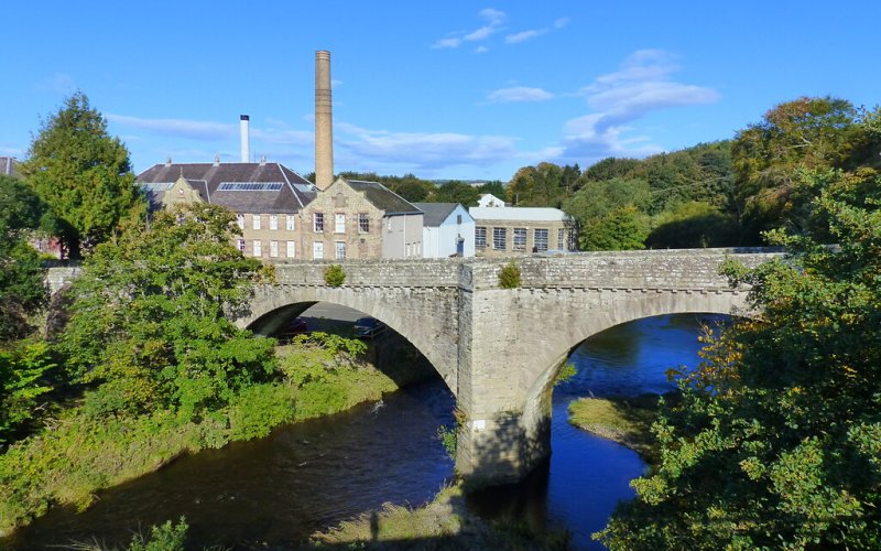
Chirnside is a parish in the eastern part of the Merse district of Berwickshire. It is bounded by Coldingham, Ayton, Foulden, Hutton, Edrom, and Bunkle. (1867: The Imperial Gazetteer of Scotland, by John Marius Wilson).
Chirnside, Chirnside Bridge, Crowbutt, Edington Mains, Harelaw, Ninewells
PRE-REFORMATION GOVERNANCE:
POST-REFORMATION GOVERNANCE:
Originally a prebend of the collegiate church of Dunbar, and afterwards of that of Dunglass. The church was built about 1160; an old tower with vaulted chambers was taken down in 1750. In 1907 the church underwent an extensive restoration, when a tower and hall were added by Edward, second Lord Tweedmouth, in memory of his wife, Lady Fanny Churchill. In 1912 the third Lord Tweedmouth erected an ornamental gateway to the churchyard, in memory of his father.
Includes ministers, licentiates, assistants, readers, and clerks.
(1928: Fasti Ecclesiæ Scoticanæ, by Hew Scott, D. D.)
Parish registers turned over to the Registrar-General, as a result of the Registration of Births, Deaths, and Marriages (Scotland) Act of 1854. The letters B. D. and M. indicate Births (or Baptisms), Deaths (or Burials), and Marriages (or Proclamations of Banns) respectively. Numbers indicate separate volumes or books. Note: These records are by no means complete or without damage; consult the Detailed List of the Old Parochial Registers of Scotland (1872) to learn more about the condition of the records.
| OPR and RD Numbers | |||
|---|---|---|---|
| Date Range | Name | Number | Type |
| 1660-1854 | Chirnside | 730 | OPR |
| 1855-1971 | Chirnside | 730 | RD |
| 1972-2006 | Chirnside | 783 | RD |
| 2007-2008 | Chirnside, Scottish Borders | 783 | RD |
| 2009 | Scottish Borders, Chirnside | 783 | RD |
| 2026 | Scottish Borders Council; Chirnside Community Council | ||
(2009: Parishes and Registration Districts of Scotland - Old and New, National Records of Scotland)
Local community councils (2026) are provided as a potential source of additional information for settlements within the original boundaries of the parish. (Source)
Statistics from informal and official censuses
Brown, Craig, Davidson, Dickson, Hay, Johnston, Paterson, Robertson, White, Wilson
Note: Names appearing in research materials, other than censuses. Simple names (First name, surname only) have been omitted unless they appear associated with large properties. All women's names, and men's names with occupations, military ranks, or peerage titles are included.
By the Reverend Walter Anderson, D. D..
"The state of the population in the year 1791 is 609 souls in the village, 352 in the country, total 961. There are 160 families in the village, 64 in the country. There are 485 males, 476 females, 260 below age 10. The individuals of families that follow sectaries are considerable in number; but whole families of them are very few.
There are 15 masons, 12 carpenters, 2 spinning-wheel wrights, 4 coopers, 7 thatchers, 12 weavers, 1 dyer, 10 tailors, 10 shoemakers, 8 smiths, 7 gardeners, 1 corn-merchant, 6 shopkeepers, 1 brewer, 5 publicans, 1 butcher, and 2 carriers.
In the discharge of Christian duties, and in the morality of their lives and actions, the common people, comparatively with others, are laudable. The virtues of honesty and charity are in esteem and practiced among them. The sympathy which they express, and the meanest of them testify, by affording all the help in their power to their neighbours in distress, is very remarkable.
In all their occupations and trades that have been mentioned, they are industrious, and many of them thriving. None of them complain of poverty, till they are really in want. The frugality of the married women, who have children (and most of them have many), and their care and constant employment, under the burden of them, are such as to require only sobriety and industry, on the part of the men, to bring up their families in a creditable way."
(This section contains excerpts, at times restructured or paraphrased, from an article appearing in Statistical Account of Scotland, Sir John Sinclair, 1791-1799)
Primary Sources:
Statistical Account of Scotland (1791-1799), Volume 14, p. 1
New Statistical Account of Scotland (1834-1845), Volume 2, Section III, p. 124
See Parish Page Sources for all source information and links.