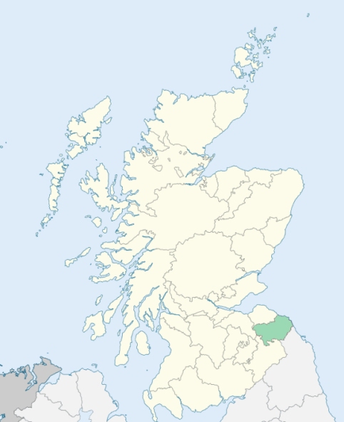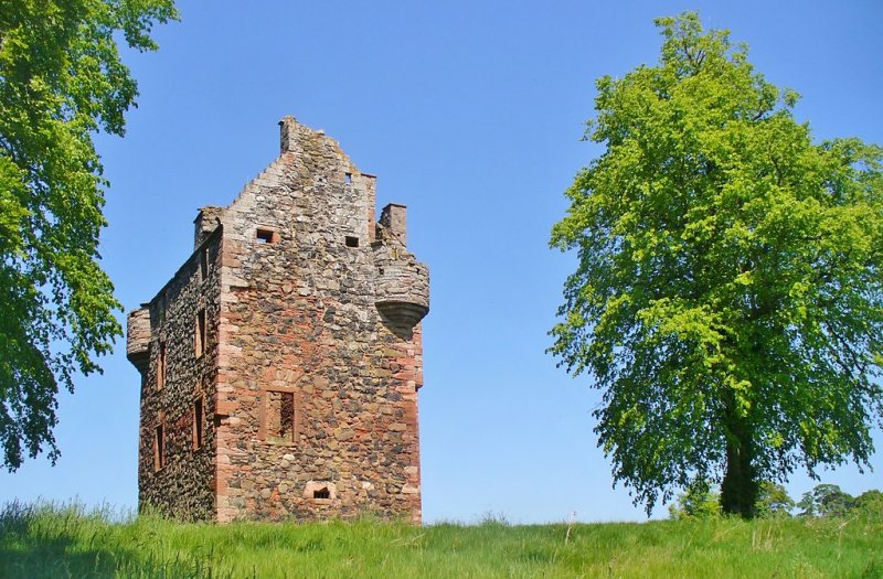
Gordon is a parish in the western part of the Merse, Berwickshire. It is bounded by Westruther, Greenlaw, Hume, Earlston, and Legerwood. Gordon parish is distinguished for giving title to the ducal family of Gordon, and for having contained their earlies seat and possessions in Scotland. (1867: The Imperial Gazetteer of Scotland, by John Marius Wilson).
Gordon, Huntly, Huntlywood, Nether Mill, Rumbletonlaw, West Gordon
PRE-REFORMATION GOVERNANCE:
POST-REFORMATION GOVERNANCE:
The church was dedicated to St Michael, 28 March 1242. It belonged to the Abbey of Kelso. Near the church is the Hare Well. In a charter of Thomas of Gordon, who died in 1258, it is called the Hare Well of St Oswald, who was perhaps the earlier patron of the parish. The church was restored in 1897. There was a chapel at Huntlywood.
Includes ministers, licentiates, assistants, readers, and clerks.
(1928: Fasti Ecclesiæ Scoticanæ, by Hew Scott, D. D.)
Parish registers turned over to the Registrar-General, as a result of the Registration of Births, Deaths, and Marriages (Scotland) Act of 1854. The letters B. D. and M. indicate Births (or Baptisms), Deaths (or Burials), and Marriages (or Proclamations of Banns) respectively. Numbers indicate separate volumes or books. Note: These records are by no means complete or without damage; consult the Detailed List of the Old Parochial Registers of Scotland (1872) to learn more about the condition of the records.
| OPR and RD Numbers | |||
|---|---|---|---|
| Date Range | Name | Number | Type |
| 1652-1854 | Gordon | 742 | OPR |
| 1855-1971 | Gordon | 742 | RD |
| 1972-2006 | Gordon | 791 | RD |
| 2007-2009 | Scottish Borders, Gordon | 791 | RD |
| 2026 | Scottish Borders Council; Gordon and Westruther Community Council | ||
(2009: Parishes and Registration Districts of Scotland - Old and New, National Records of Scotland)
Local community councils (2026) are provided as a potential source of additional information for settlements within the original boundaries of the parish. (Source)
Statistics from informal and official censuses
Cairns, Gray, Hay, Henderson, Johnston, Lothian, Purves, Scott, Smith, Young
Note: Names appearing in research materials, other than censuses. Simple names (First name, surname only) have been omitted unless they appear associated with large properties. All women's names, and men's names with occupations, military ranks, or peerage titles are included.
By the Reverend Mr Alexander Duncan.
"In 1791, a particular list of all descriptions and ages having been made, the number of souls was found to be 912. Of these 472 are females, and 440 males. The number of inhabited houses is 217. The number of Seceders amount to 130. There are neither Episcopals nor Roman Catholics in the parish.
Some families have been, for many generations, in the same farms. One of them had been proprietors of the land they now rent: Another of these families say, that their forefathers have been in the farm for 200 years, and the other two, that their ancestors have been 300 years in the farms. A great-grandmother of one of the present tenants, in one of these farms, told his neighbour, who died not many years ago, that she stood in her own door, and saw the walls of Home Castle beat down by Oliver Cromwell's canons.
The manner of living, dress and manners of the people are greatly improved, within these last 20 years. Learning, in particular, is more generally diffused than formerly, in proof of which it may be remarked, that several of the farmers here, have become subscribers to the public libraries in the neighbouring town of Kelso, by which they are enabled to acquire an extent of knowledge and information, to which, otherwise, they could not have had access."
(This section contains excerpts, at times restructured or paraphrased, from an article appearing in Statistical Account of Scotland, Sir John Sinclair, 1791-1799)
Primary Sources:
Statistical Account of Scotland (1791-1799), Volume 5, p. 88
New Statistical Account of Scotland (1834-1845), Volume 2, Section III, p. 33
See Parish Page Sources for all source information and links.