Hurkyndorath
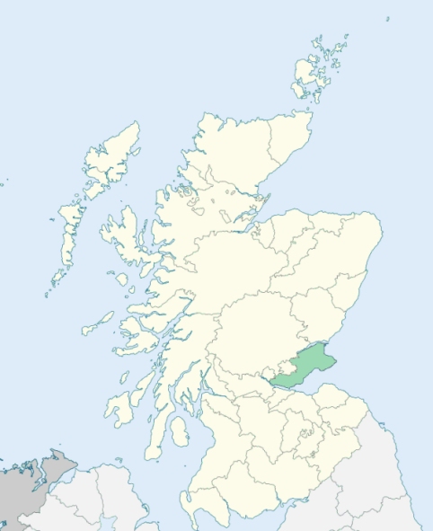
Auchterderran is a parish in the western part of Fife. It is bounded by Auchertool on the south, Abbotshall on the south-east, Dysart on the east, Kinglassie and Portmoak on the north, and Ballingry on the west. (1867: The Imperial Gazetteer of Scotland, by John Marius Wilson).
Auchterderran, Cardenden, Cluny, Coalden, Contell, Greenhead, Lochgelly, Waterloo
Whereas a part of the parish of Ballingry in the county of Fife, containing 649 acres or thereby, situated at or near Wester Balbedie and adjoining the parish of Kinglassie in the county of Fife and the parish of Portmoak in the county of Kinross (being the part marked on the Ordnance Survey maps Ballingry detached No. 1), is detached from the main portion of the parish of Ballingry; and another part of the parish of Ballingry, containing 60 acres or thereby, situated at or near Spittal and surrounded by the parish of Auchterderran (being the part marked on the Ordnance Survey maps Ballingry detached No. 2) is also detached from the main portion of the parish of Ballingry:
I. So much of the aforesaid detached part of the parish of Ballingry marked on the Ordnance Survey maps Ballingry detached No. 1 as is situated to the north of the centre of the new channel of the River Leven (known as The Cut) shall cease to be part of the parish of Ballingry and of the county of Fife, and shall form part of the parish of Portmoak and of the county of Kinross, and the remainder of the said detached part shall cease to be part of the parish of Ballingry, and shall form part of the parish of Kinglassie.
II. The aforesaid detached part of the parish of Ballingry marked on the Ordnance Survey maps Ballingry detached No. 2 shall cease to be part of that parish, and shall form part of the parish of Auchterderran.
See affected properties and landholders. (1892: Boundary of counties and parishes in Scotland as settled by the Boundary Commissioners under the Local Government Act, 1889, by Hay Shennan)
PRE-REFORMATION GOVERNANCE:
POST-REFORMATION GOVERNANCE:
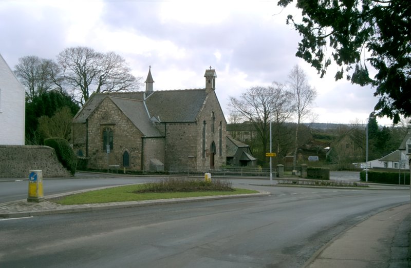
The church was built in 1789 and extended in 1891. At Cardenden in this parish there is a mission chapel of St Fothad.
Disjoined Quoad Sacra Parishes:
Lochgelly. A chapel was built here in 1855. The parish of Lochgelly was disjoined from Auchterderran and Ballingry on 12 February 1868.
(1928: Fasti Ecclesiæ Scoticanæ, by Hew Scott, D. D.)
Includes ministers, licentiates, assistants, readers, and clerks.
Auchterderran (QO)
Lochgelly (QS)
(1928: Fasti Ecclesiæ Scoticanæ, by Hew Scott, D. D.)
Parish registers turned over to the Registrar-General, as a result of the Registration of Births, Deaths, and Marriages (Scotland) Act of 1854. The letters B. D. and M. indicate Births (or Baptisms), Deaths (or Burials), and Marriages (or Proclamations of Banns) respectively. Numbers indicate separate volumes or books. Note: These records are by no means complete or without damage; consult the Detailed List of the Old Parochial Registers of Scotland (1872) to learn more about the condition of the records.
| OPR and RD Numbers | |||
|---|---|---|---|
| Date Range | Name | Number | Type |
| 1664-1854 | Auchterderran | 405 | OPR |
| 1855-1908 | Auchterderran | 405 | RD |
| 1909-1971 | Auchterderran | 405-1 | RD |
| 1909-1971 | Lochgelly | 405-2 | RD |
| 1972-2006 | Auchterderran | 427 | RD |
| 1972-2006 | Lochgelly | 429 | RD |
| 2009 | Fife, Auchterderran | 427 | RD |
| 2009 | Fife, Lochgelly | 429 | RD |
| 2026 | (Auchterderran) Fife Council; Cardenden Community Council | ||
| 2026 | (Lochgelly) Fife Council; Lochgelly Community Council | ||
(2009: Parishes and Registration Districts of Scotland - Old and New, National Records of Scotland)
Local community councils (2026) are provided as a potential source of additional information for settlements within the original boundaries of the parish. (Source)
Statistics from informal and official censuses
Anderson, Clark, Cook, Davidson, Henderson, Hunter, Penman, Simpson, Thomson, Wilson
Note: Names appearing in research materials, other than censuses. Simple names (First name, surname only) have been omitted unless they appear associated with large properties. All women's names, and men's names with occupations, military ranks, or peerage titles are included.
By the Reverend Mr Andrew Murray.
"The number of inhabitants at present are 1200. There are 293 inhabited houses. In 1783 there were 430 individuals belonging to the established church, 770 individuals belonging to the seceders, and other sectaries. There were 47 farmers, nearly 31 families of colliers. There is 1 village called Lochgellie, containing 342 people.
The inhabitants are very regular in their attendance on public worship. The people are not illiterate. In common with the rest of Scotland, the vulgar are, for their station, literate, perhaps beyond all other nations. Although the parish consists wholly of the poorer ranks of society, newspapers are very generally read and attended to: The desire for them increases; and the reading of them seems to be attended with advantage. With regard to the intellectual character of the people: They are deficient in imagination, vivacity, humour, &c.; their apprehension and judgment are very good, and they make a decent figure in the common professions of life. With respect to their moral and religious character, they have all a profession of religion; but, in the points where their situation more immediately leads to temptation, they too frequently and even habitually contradict their profession.
Their civil character is excellent: They seem in some degree capable of reflecting on the advantages of government; and they obey it peaceably, and on principle. The inhabitants are improving in their mode of living and dress. Intemperance from spirituous liquors is by no means frequent among them; but, unluckily, the use of whisky is increasing, and that of beer diminishing. The blue bonnet, a national badge, is disappearing rapidly. The prevalent colour of the mens dress is blue."
(This section contains excerpts, at times restructured or paraphrased, from an article appearing in Statistical Account of Scotland, Sir John Sinclair, 1791-1799)
Primary Sources:
Statistical Account of Scotland (1791-1799), Volume 1, p. 449
New Statistical Account of Scotland (1834-1845), Volume 9, Section I, p. 165
See Parish Page Sources for all source information and links.