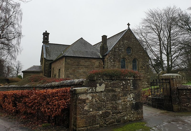
Ecclesmachen, Inchmachen
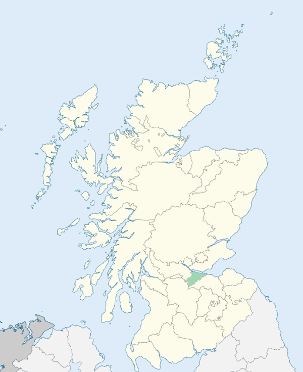
Ecclesmachen is a parish in Linlithgowshire. It consists of two detached, nearly equal parts, the one near the centre of the county, and the other somewhat to the north-east. The south-western part is bounded on the north by the parish of Linlithgow, on the east by Uphall, on the south by Uphall and Livingston, and on the south-west and west by Bathgate. (1867: The Imperial Gazetteer of Scotland, by John Marius Wilson).
Ecclesmachen, Threemiletown, Waterston
The parish of Ecclesmachan had one detached part separated from the main portion of the parish by part of the parish of Linlithgow. The two parts of Ecclesmachan were united by transferring to that parish the intervening portion of Linlithgow. The parish of Ecclesmachan receives a further accession of territory by which the western portion of the detached part of Dalmeny is transferred to Ecclesmachan. See affected properties and landholders. (1892: Boundary of counties and parishes in Scotland as settled by the Boundary Commissioners under the Local Government Act, 1889, by Hay Shennan)
PRE-REFORMATION GOVERNANCE:
POST-REFORMATION GOVERNANCE:
Previous to the Reformation the church, dedicated to St Machan, belonged to the Preceptory of St John at Torphichen
Includes ministers, licentiates, assistants, readers, and clerks.
(1928: Fasti Ecclesiæ Scoticanæ, by Hew Scott, D. D.)
Parish registers turned over to the Registrar-General, as a result of the Registration of Births, Deaths, and Marriages (Scotland) Act of 1854. The letters B. D. and M. indicate Births (or Baptisms), Deaths (or Burials), and Marriages (or Proclamations of Banns) respectively. Numbers indicate separate volumes or books. Note: These records are by no means complete or without damage; consult the Detailed List of the Old Parochial Registers of Scotland (1872) to learn more about the condition of the records.
| OPR and RD Numbers | |||
|---|---|---|---|
| Date Range | Name | Number | Type |
| 1717-1854 | Ecclesmachen | 666 | OPR |
| 1855-1930 | Ecclesmachan | 666 | RD |
| 2009 | West Lothian, Uphall | 775 | RD |
| 2026 | West Lothian Council; Ecclesmachan and Threemiletown Community Council | ||
(2009: Parishes and Registration Districts of Scotland - Old and New, National Records of Scotland)
Local community councils (2026) are provided as a potential source of additional information for settlements within the original boundaries of the parish. (Source)
Statistics from informal and official censuses
Addison, Anderson, Baird, Black, Brownlee, Cochrane, Kirkwood, Shepherd, White, Williamson
Note: Names appearing in research materials, other than censuses. Simple names (First name, surname only) have been omitted unless they appear associated with large properties. All women's names, and men's names with occupations, military ranks, or peerage titles are included.
By the Reverend Mr William Peterkin.
"The population of this parish contains 215 souls. Of these, 48 are under 7 years of age, and 63 are dissenters of one denomination or another; so that there are 104 examinable persons, professing the communion of the Established Church. There are 11 farmers in the parish, and 30 cotters. These last have only a house and small yard, but no land; and are employed as servants to the farmers, or carriers of butter and buttermilk to Edinburgh. The average of each farmer's family, is 9, including children and servants: of each cotter's, 5. There is no manufactory of any kind carried on in the parish; nor are there any mechanics, except 1 house-carpenters, 2 blacksmiths, 1 tailor, and 1 mason.
No new house or cottage has been built in the parish for these ten years past. About 6 have fallen down, the inhabitants having emigrated to Edinburgh or elsewhere. The circumstances of the lower orders of the community, in this neighbourhood, if they are industrious, are, on the whole, easy. But indolence or vice, clothes a man with rags, in this as well as in other countries."
(This section contains excerpts, at times restructured or paraphrased, from an article appearing in Statistical Account of Scotland, Sir John Sinclair, 1791-1799)
Primary Sources:
Statistical Account of Scotland (1791-1799), Volume 2, p. 367
New Statistical Account of Scotland (1834-1845), Volume 2, Section I, p. 109
See Parish Page Sources for all source information and links.