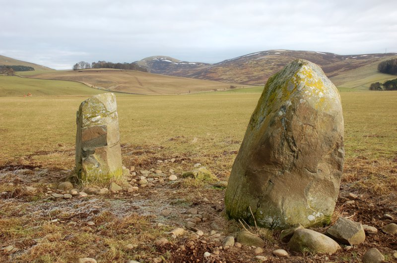
Henryland (Megget)
Lyne. Lyne is bounded on the north by Newlands, on the north-east by Harehope Burn, which divides it from Eddlestone, on the east and south-east by Meldon Burn, which divides it from Peebles, on the south and south-west by Lyne Water, which divides it from Stobo, and on the west by Howe Burn and Stevenston Hill, which divide it from Newlands (1867: The Imperial Gazetteer of Scotland, by John Marius Wilson).
Megget. Megget is distant geographically 8 miles, but along the shortest practicable path, 14 miles. It lies on the southern verge of the county. It is bounded on the north by Manor, on the east and south-east by Selkirkshire, on the south-west by Dumfriesshire, on the west by Tweedsmuir, and on the north-west by Drumelzier. (1867: The Imperial Gazetteer of Scotland, by John Marius Wilson).
Hallyne, Lyne, Megget
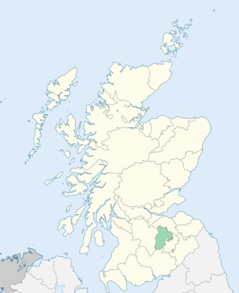
The parish of Lyne & Megget, in the county of Peebles, had a detached part situated at the south of the county of Peebles. It consisted of the district of Megget, which drained into the valley of Yarrow Water. This detached part was transferred to the parish of Yarrow and to the county of Selkirk. See affected properties and landholders. (1892: Boundary of counties and parishes in Scotland as settled by the Boundary Commissioners under the Local Government Act, 1889, by Hay Shennan)
PRE-REFORMATION GOVERNANCE:
POST-REFORMATION GOVERNANCE:
Previous to the Reformation Lyne was a chapel of Stobo. The parish of Megget was annexed in 1621.
Includes ministers, licentiates, assistants, readers, and clerks.
(1928: Fasti Ecclesiæ Scoticanæ, by Hew Scott, D. D.)
Parish registers turned over to the Registrar-General, as a result of the Registration of Births, Deaths, and Marriages (Scotland) Act of 1854. The letters B. D. and M. indicate Births (or Baptisms), Deaths (or Burials), and Marriages (or Proclamations of Banns) respectively. Numbers indicate separate volumes or books. Note: These records are by no means complete or without damage; consult the Detailed List of the Old Parochial Registers of Scotland (1872) to learn more about the condition of the records.
| OPR and RD Numbers | |||
|---|---|---|---|
| Date Range | Name | Number | Type |
| 1649-1854 | Lyne and Megget | 765 | OPR |
| 1855-1892 | Lyne | 765-1 | RD |
| 1855-1892 | Megget | 765-2 | RD |
| 1893-1962 | Lyne | 765 | RD |
| 2009 | (Lyne) Scottish Borders, Peebles | 801 | RD |
| 2009 | (Megget) Scottish Borders, Selkirk | 811 | RD |
| 2026 | (Lyne) Scottish Borders Council; Manor, Stobo and Lyne Community Council | ||
| 2026 | (Megget) Scottish Borders Council; Ettrick and Yarrow Community Council | ||
(2009: Parishes and Registration Districts of Scotland - Old and New, National Records of Scotland)
Local community councils (2026) are provided as a potential source of additional information for settlements within the original boundaries of the parish. (Source)
Statistics from informal and official censuses
Lyne: Brown, Dickson, Duncan, Hogg, Murray, Robertson, Smith, Stewart, Swanston, Watson
Megget: Anderson, Laidlaw, Little, Mitchell, Pringle, Robson, Scott, Shiel, Sim, Sykes
Note: Names appearing in research materials, other than censuses. Simple names (First name, surname only) have been omitted unless they appear associated with large properties. All women's names, and men's names with occupations, military ranks, or peerage titles are included.
By the Reverend Mr Andrew Handyside.
"The population of Lyne in 1792, was 72, of whom 34 were males, 38 were females, and 16 were under the age of 10. The population of Megget in 1792, was 80, of whom 37 were males, 43 were females, and 10 were under the age of 10. During the summer there are 12 or 13 servants more in Megget, and 3 or 4 more in Lyne parish, mostly females, employed in milking ewes, making hay, &c. The population of both parishes will amount, at a medium, to about 160. All the parishioners join in communion with the Established Church, except 4 or 5 Cameronians, and sometimes 2 or 3 Seceders.
There are no artificers nor mechanics in either parish, except 1 carpenter at Lyne, who has commonly 2 or 3 apprentices. The rest of the inhabitants are wholly composed of farmers, shepherds, and labourers, with their families. Their mode of living and dress is much improved of late, and they enjoy, in moderation, the comforts and conveniences of life. They are far from being illiberal in their religious sentiments, and are truly exemplary for decency and hospitality."
(This section contains excerpts, at times restructured or paraphrased, from an article appearing in Statistical Account of Scotland, Sir John Sinclair, 1791-1799)
Primary Sources:
Statistical Account of Scotland (1791-1799), Volume 12, p. 556
New Statistical Account of Scotland (1834-1845), Volume 3, Section II, p. 166
See Parish Page Sources for all source information and links.