
Date: Pre-1929
Boundary: District designations as they appear in early census records
Date: 1930-1975
Boundary: Landward districts were created as a result of the Local Government (Scotland) Act 1929. They were formed by grouping parishes outside of Burghs (areas known as Landward) into districts with elected councils.
Date: 1975-1996
Boundary: Region and district designations as a result of the 1973 Local Government (Scotland) Act, with OPR parishes that fell into each district. The changes took effect on 15 May 1975, and were in place until 1996.
All Orkney parishes fell into the Orkney Island Area.
Date: Changes made as a result of the Local Government (Scotland) Act, 1889
Summary: No change either in county or in parish boundaries.
Kirkwall
Royal Burgh: 1486
Small Burgh: 1929
Parish: Kirkwall
Region (Before 1975): Orkney
Stromness
Burgh of Barony: 1817
Large Burgh: 1929
Parish: Stromness
Region (Before 1975): Orkney
See Parish Page Sources for all source information and links.
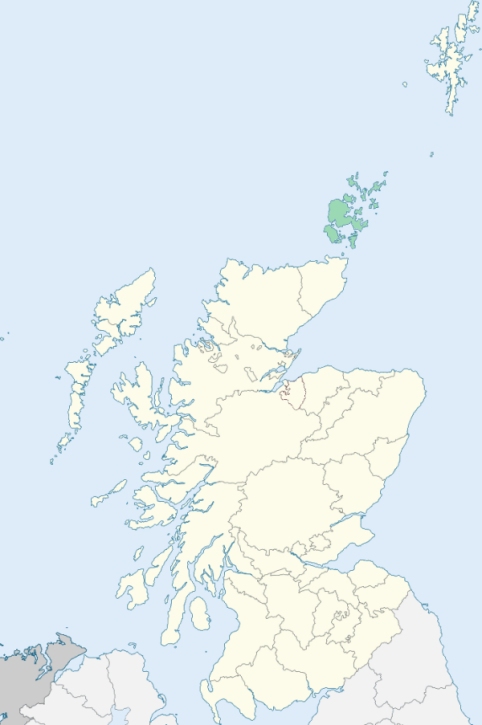
Location of Orkney
View more maps at Wikipedia